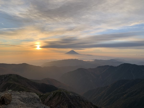
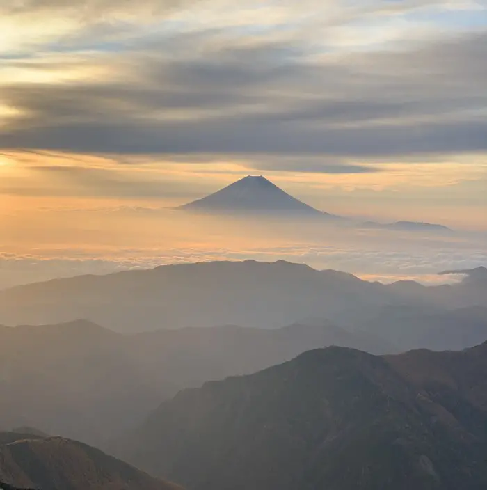
Mount Kita (Kitadake in Japanese) is Japan’s second-highest mountain after Mount Fuji. Rising to an altitude of 3,193m, it’s the highest peak of the Southern Alps. Climbing Mount Kita is not only a rewarding challenge for all mountain lovers, but it probably offers the best views of Mount Fuji in the entire country.
What's in this blog post?
I. Kitadake hike details
Mount Kita elevation: 3,193 m
Starting point: Hirogawara bus stop 1,525 m
Closest city: Kofu, 90 minutes from Shinjuku by train
Duration: 2-3 days or 3-4 days if you also plan to climb Ainodake and Notoridake – Japan’s 4th and 15th tallest summits, together with Kitadake known as Shirane Sanzan or the Three White Peaks.
Skill level: Medium-hard. The hike is not technically difficult, but it is long and steep. When it comes to fatigue, it is quite comparable to climbing Mount Fuji, but the trail is more rocky and steep.
Accommodation: Second-highest peak in Japan, hiking through the rugged and wild terrain, amazing views of Mount Fuji and the Southern Alps, plenty of flowers during the summer.
II. Mount Kita climb description
Before the hike
Climbing Kitadake had been on my radar for a long time. However, ensuring a spot in a mountain hut on the weekend with good weather when I had no other plans was simply impossible. Mount Kita is not as crowded as Mount Fuji, but if you plan to hike on a weekend, you should still book your hut well in advance.
The first weekend of November was my last chance. While some huts were already closed for the season, some were still open until Sunday, November 5. Oddly enough, there was still some availability, probably because most people were scared of the snow, ice, and cold on the trail. The weather forecast looked great. It was now or never.
Getting to Kofu - the closest city to Mount Kita
I woke up at 5:30 and packed quickly. It wasn’t too difficult because I just looked at my article WHAT TO PACK FOR A TREK IN NEPAL? (I did it – not kidding). I took basically everything except my sleeping bag and pyjamas. After a quick shower – I knew I would take another shower in 3 days – at 8:00 I was on the train to Kofu. As I sat on the ground close to the toilet, as every seat was already sold out, I wondered why I didn’t stay in my comfortable bed.
I had 30 minutes at Kofu Station to figure out where the bus stop was (now I know – South Exit) and buy some snacks before taking the 10:05 bus. I got some bread at a nice bakery at the station and onigiris at the FamilyMart just in front of the bus terminal. If I had known that in November the only thing you can get at the mountain huts around Kitadake is cup noodles, I would probably have bought half of the convenience store. During the main season, you can get decent meals at the huts but the service ends, I believe, at the end of October. You will be able to figure it out at the time of booking, so don’t worry too much. Since I had booked the accommodation in a hurry at 6:30 a.m. on the morning of the climb, I just didn’t realise it.
Bus journey from Kofu to Hirogawara
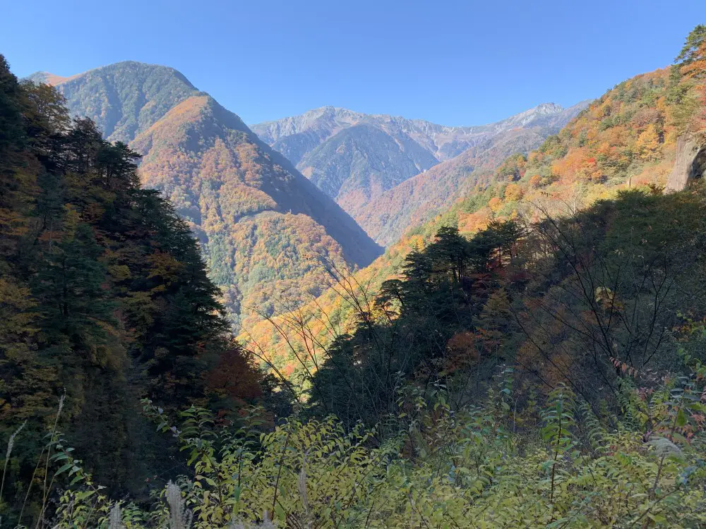
The bus departed at 10:05 sharp. The journey was very scenic because of the autumn colours in the mountains. We even stopped at one of the viewpoints and were allowed to get off and take photos of the beautiful foliage and Mount Kitadake in the distance. And that’s the picture 🙂
Mount Kita peak is lurking on the right side in the distance.
In the high season in early morning hours on the weekends the bus can be crowded, so if you want to secure a seat, get in the line at the bus stop early.
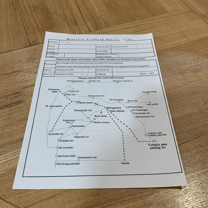
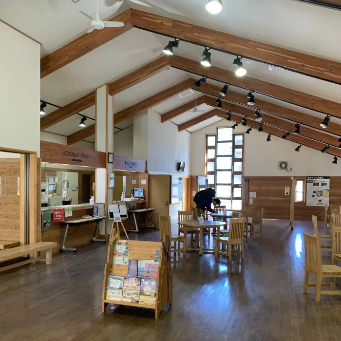
After getting off the bus, I headed to the second floor of the Visitor Centre to fill up the climbing plan, which is a normal requirement in Japan. For safety reasons you need to fill in your personal details and your plan before a hike.
Filling up the hiking plan in the very large and impressive Hirogawara Visitor Centre.
Hiking to Shirane-Oike Hut (2,200m)
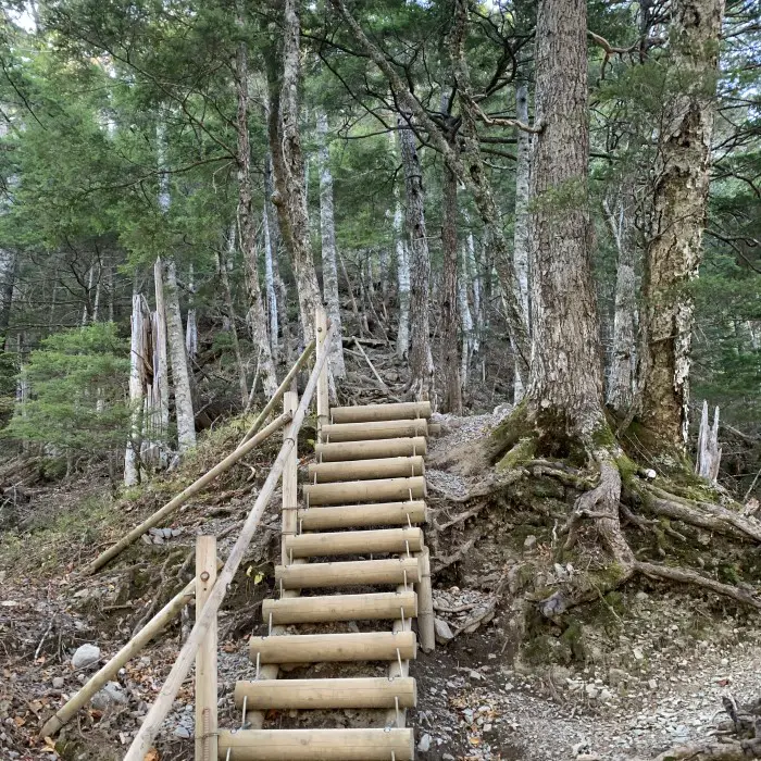
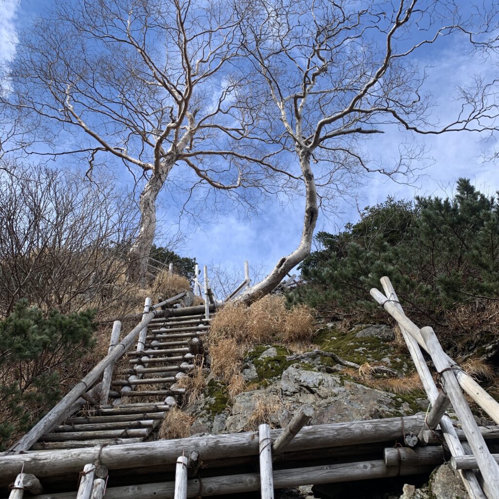
The trail begins behind the Visitor Centre. After crossing a suspension bridge, you enter a forest. Initially the trail climbs gently, but after about 20 minutes it gets steeper and you will come across several wooden ladders. Before the Shirane-Oike Hut it gets flatter again. Overall, it is a very 2.5-hour pleasant hike. The easiest part of climbing Kitadake.
Climbing Mount Kita - forest trail, foliage & wooden ladders - Day 1
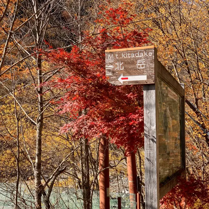
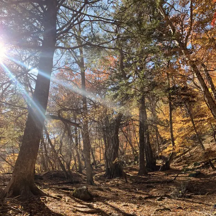
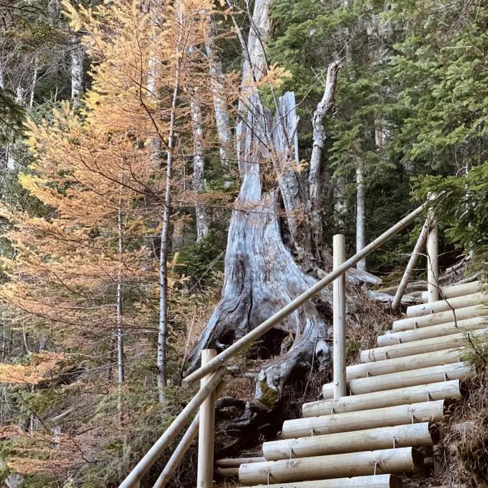
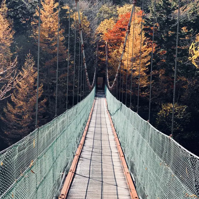
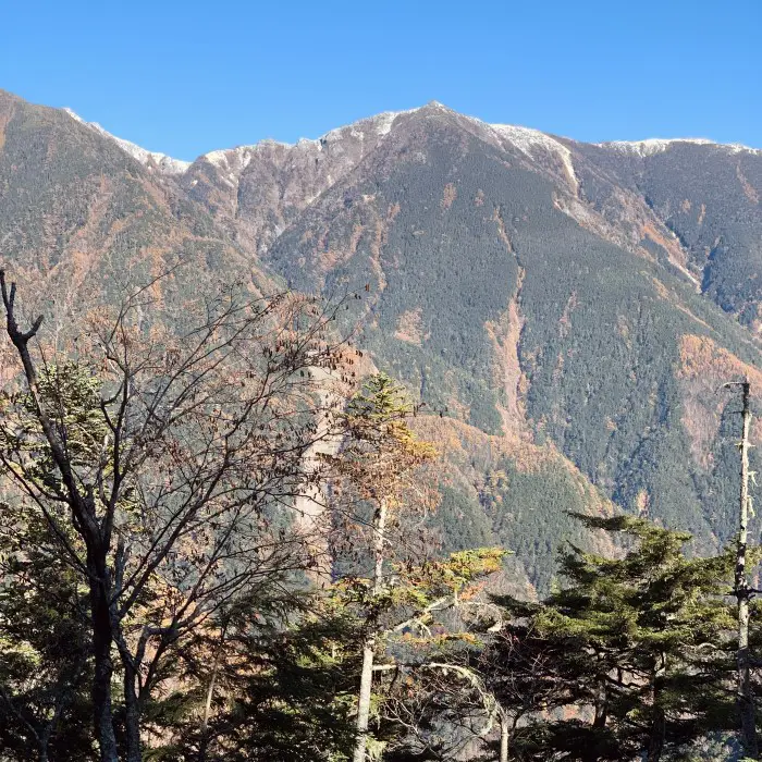
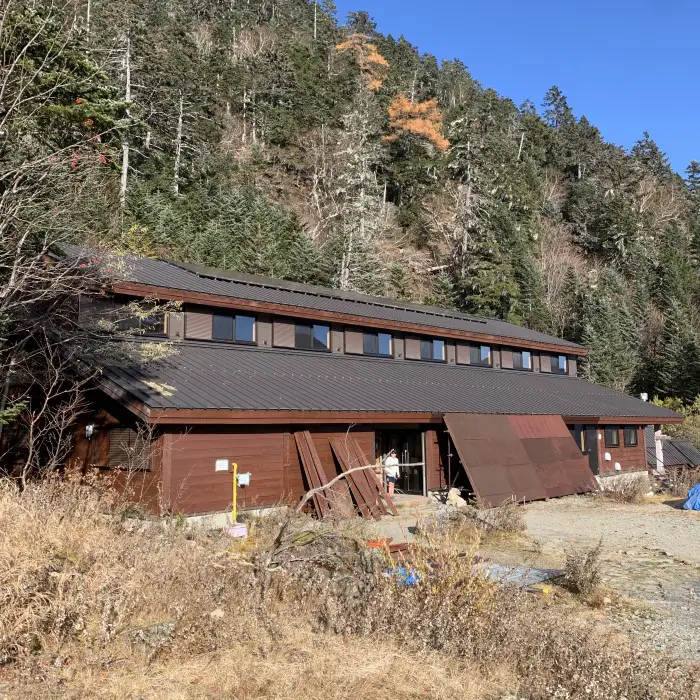
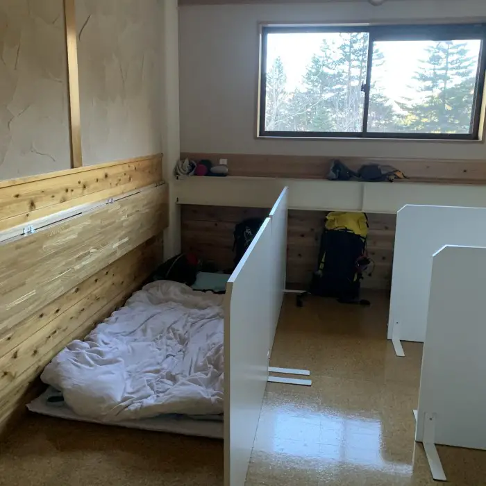
Shirane-Oike Hut is a typical Japanese mountain hut with dorms and a large dining room. But everyone who worked in that hut, especially one man at the front desk – maybe the general manager – was extremely nice. Free tea as well as hot water, nice jazz music in the background, a heater on in the dining room, and clean toilets in front of my dormitory made my stay very comfortable.
Shirane Oike mountain hut: a very pleasant stay!
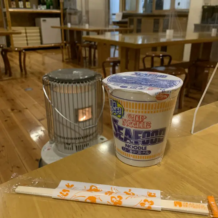
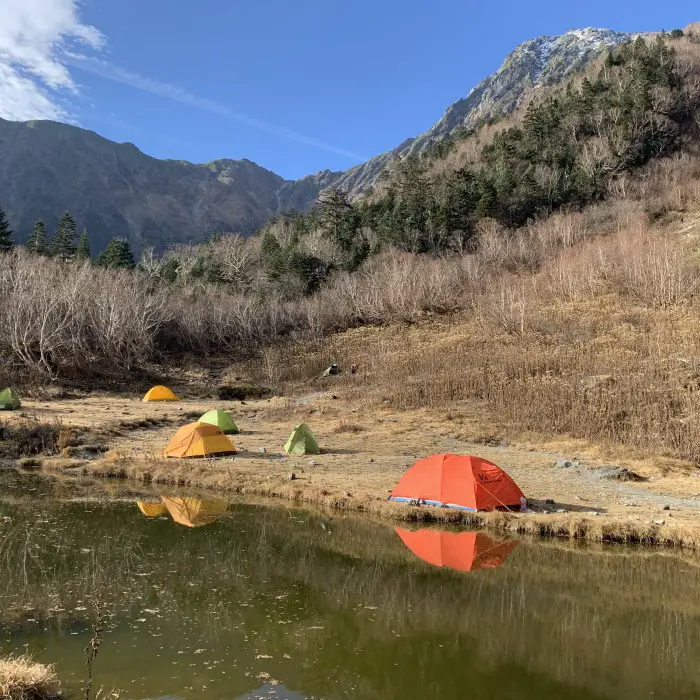
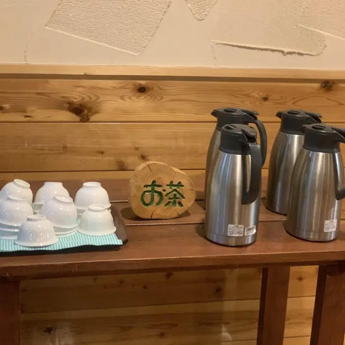
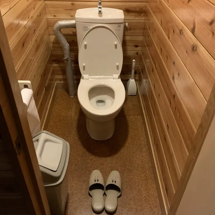
Two trails from Shirane-Oike Hut (2,200m) to Kitadake Sanso (2,900m)
There are two trails leading to Mount Kita and Kitadake Sanso Hut. If you choose the first steeper one, you will pass by the Kata-no-Koya Hut and you will have to climb Mount Kita to reach Kitadake Sanso. Turn right at the small pond at the Shirane-Oike Hut to follow this trail. Since I wanted to climb Kitadake early in the morning of the third day, I chose the second route, leading through Futamata and the Happonba Col, without having to climb to the top of Mount Kita on day 2. To take this trail, just pass the pond and go straight. Both trails are well marked.
Alternatively, if you stay at Kata-no-Koya Hut, climb the first steeper trail and descend from Mount Kita via Happonba Col.
After a quick breakfast I'm the last person to leave the hut at 8AM. You can see Kitadake behind my back. I choose a less steep path and at the pond continue straight.
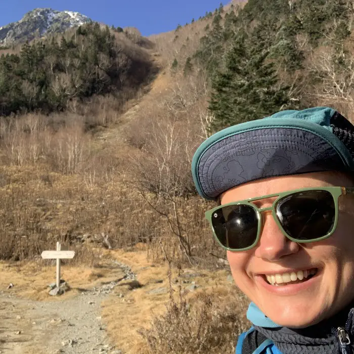
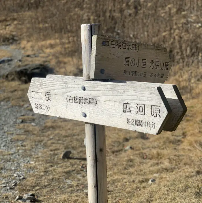
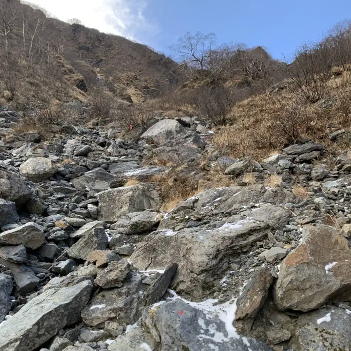
The second path can be icy during periods of low temperatures and snowfall, so packing your microspikes in late fall is a must. However, the icy part is only a small part of the trail to Happonba Col, which is otherwise quite steep and has a lot of wooden ladders, but not too difficult. Even though I put on the microspikes for a short while, I could have gone without by simply going around the icy part as other hikers did.
Hiking trail from Shirane Oike to Mount Kita via Happonba Col.
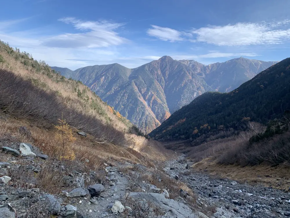
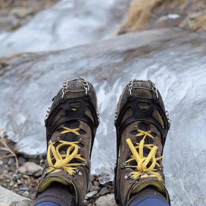
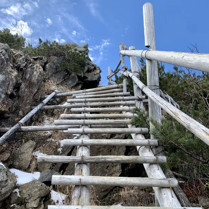
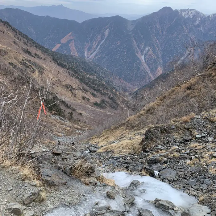
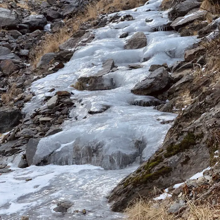
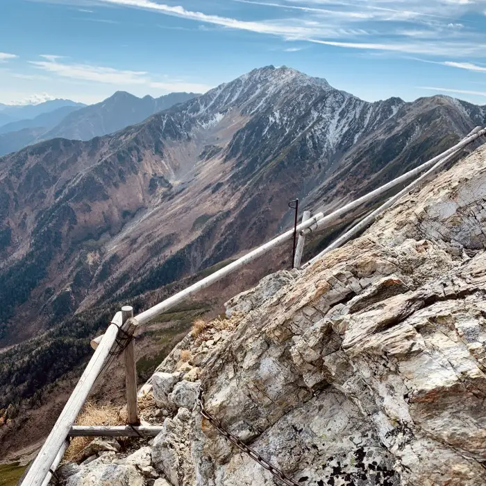
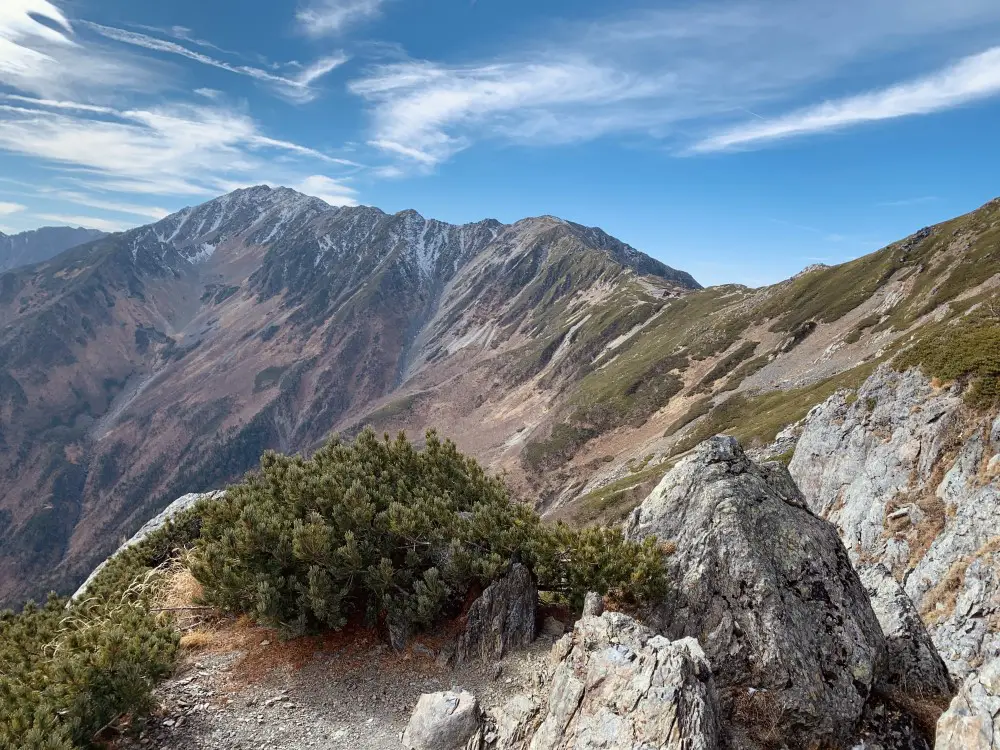
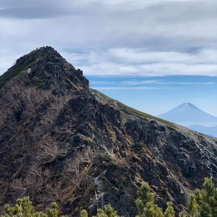
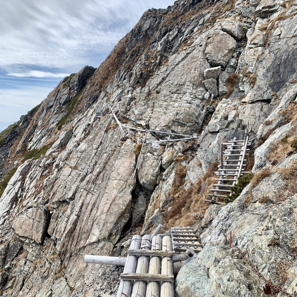
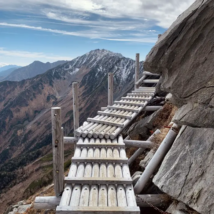
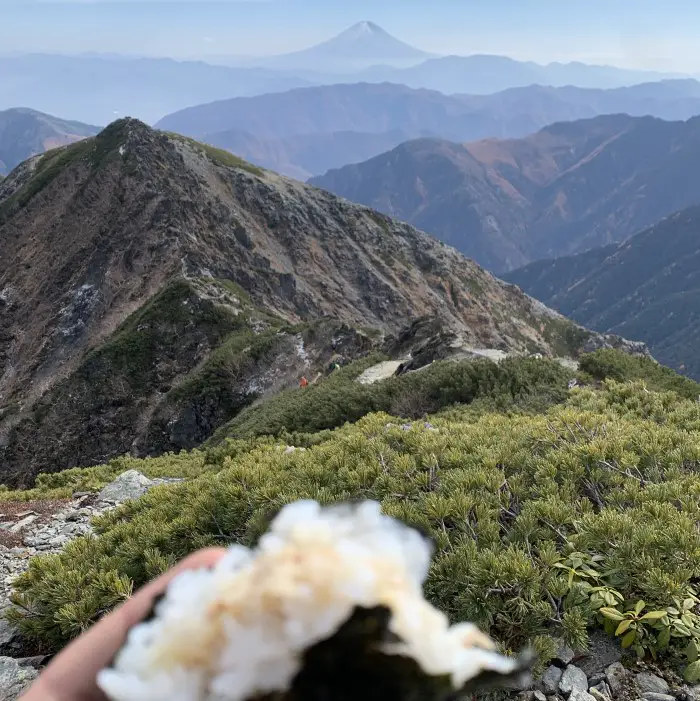
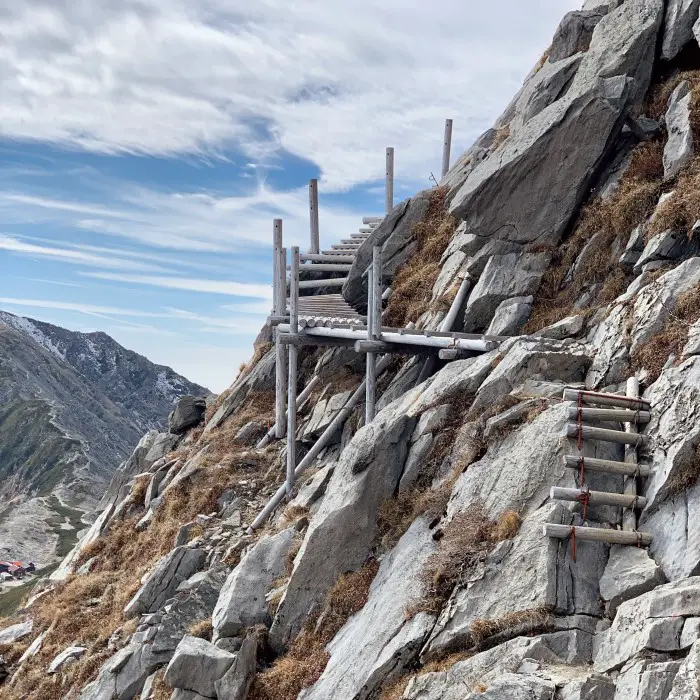
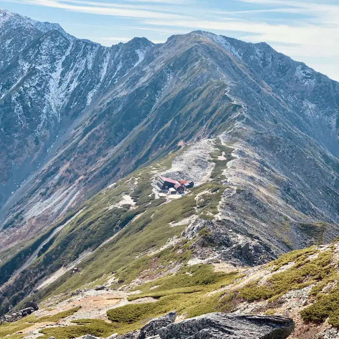
Once you reach the col, which took me about 3 hours from Shirane-Oike, you have a choice: climb Mount Kita, which takes about 1 hour, or go directly to Kitadake Sanso Hut. I chose the second option. This part of the hike is particularly scenic; you get the first views of Mount Fuji and climb many wooden platforms that, believe me, look scarier in photos than in reality. I hiked slowly, taking a few breaks to enjoy both my snacks and the views. The weather was perfect, it was early, I wanted this beautiful adventure to last as long as possible.
on the way to Kitadake sanso. it looks scarier than it actually is! It's a stunning path.
Staying at Kitadake Sanso (2,900m)
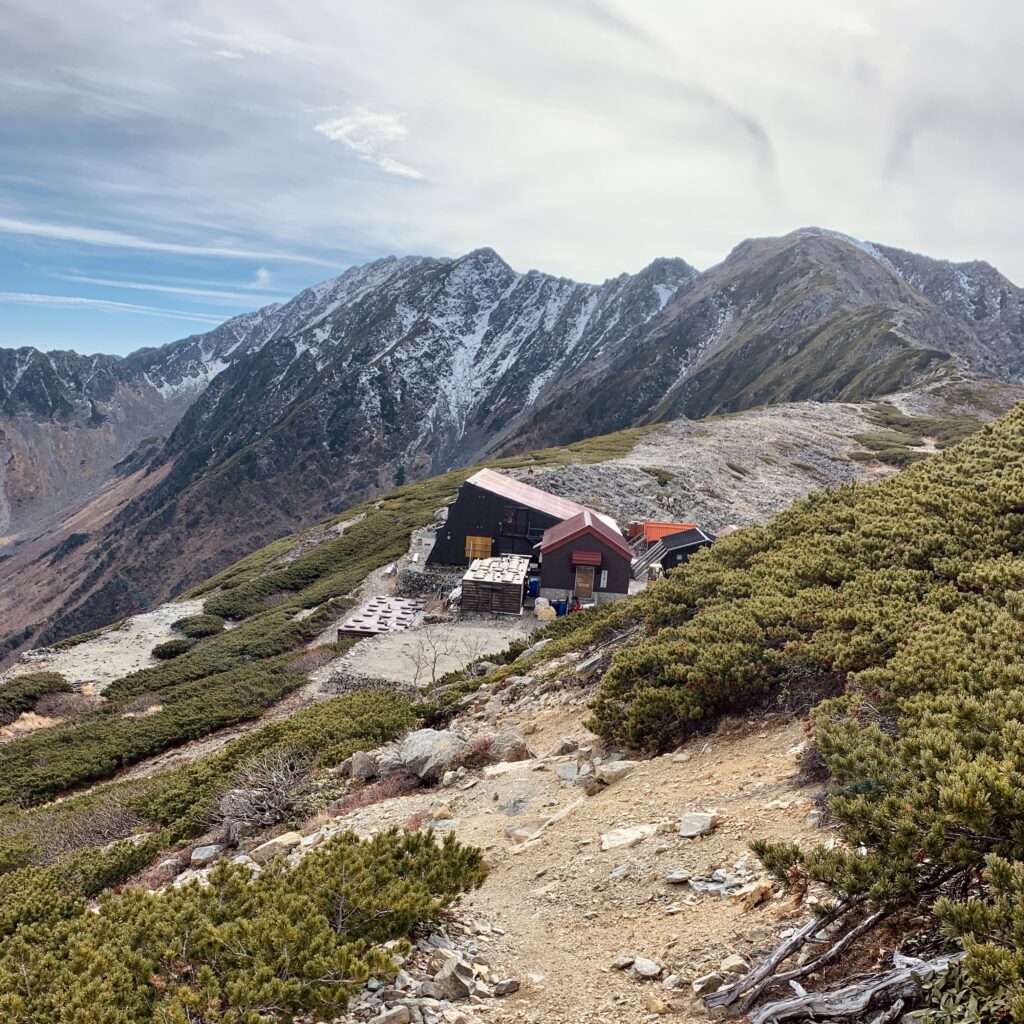
Kitadake Sanso grounds are full of hikers and colourful tents during the main summer season, as it’s a great base not only for Kitadake, but also for climbing Ainodake and Notoridake. Since I was there on the last night of the season, it was completely different and quieter. Of course, I still had the opportunity to practise my Japanese while chatting with a friendly Japanese couple over dinner. Even if you hike alone, you are hardly ever alone in the mountains.
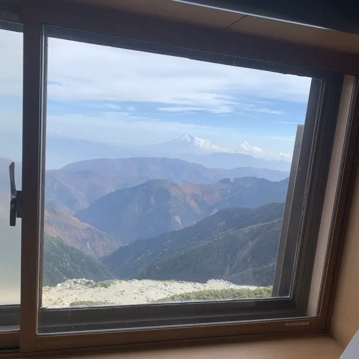
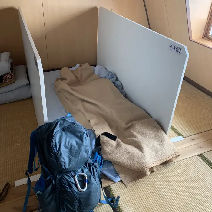
Kitadake Sanso Hut: higher altitude = simpler conditions, great view and of course cup noodles 😉

Summiting Japan’s second-highest mountain
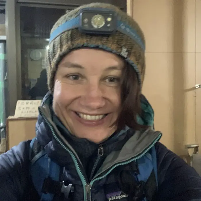
I couldn’t sleep that night, probably because I was too excited or maybe nervous about the final ascent. At 5 AM I was already in front of the hut with my headlamp on. Since sunrise was at 5:50, it was still dark. Despite the darkness and the lack of other people setting off at the same time, finding the trail was quite easy. I only checked my location on Maps.Me once to make sure I was on the right path. I saw a few lights very close to the summit of Kitadake and Ainodake, as summiting for the sunrise is quite popular.
Ready to go at 5:00 AM & some insane views already before sunrise at 5:30 AM
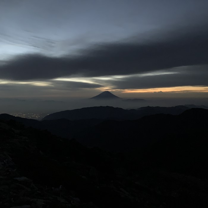
This last part of the climb wasn’t difficult at all. It seemed to me that hiking to Happonba Col and ultimately to Kitadake Sanso Hut the day before was more challenging and steep. But maybe I was just well-rested? There are no difficult sections below Mount Kita summit, if you’re coming from the Kitadake Sanso side, that’s for sure.
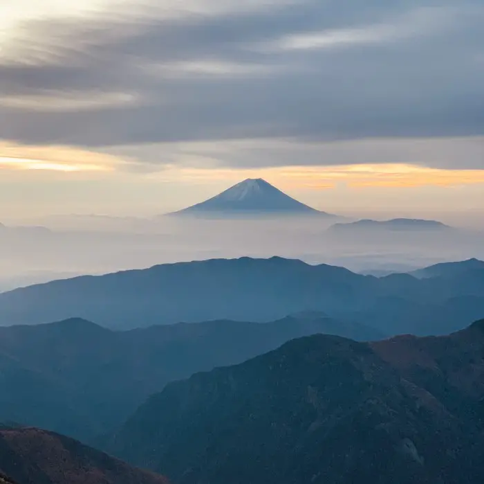
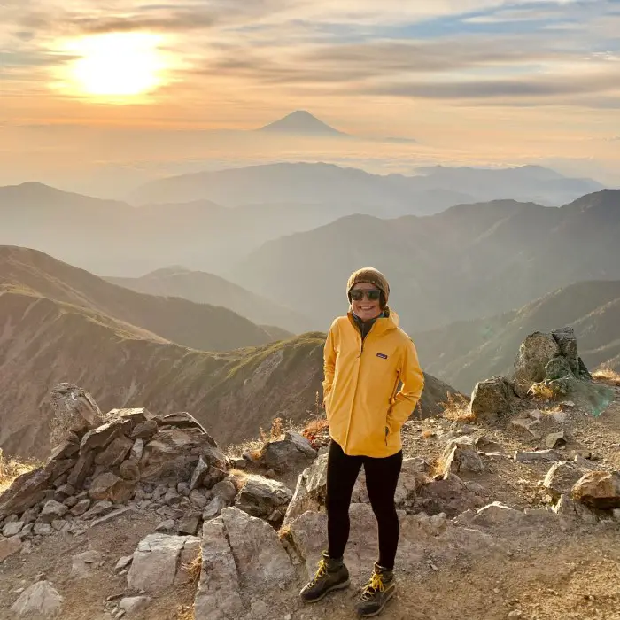
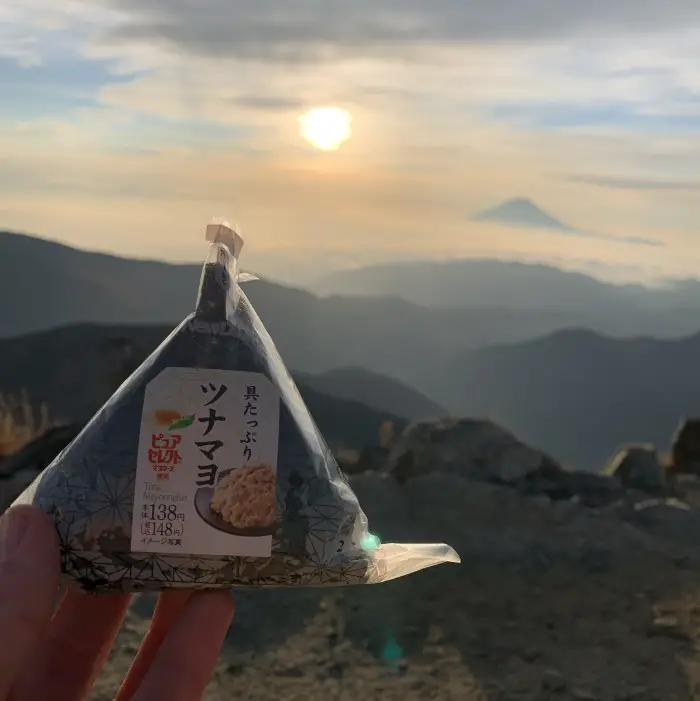
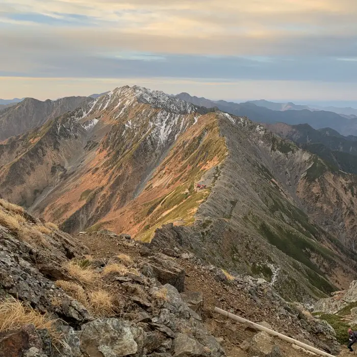
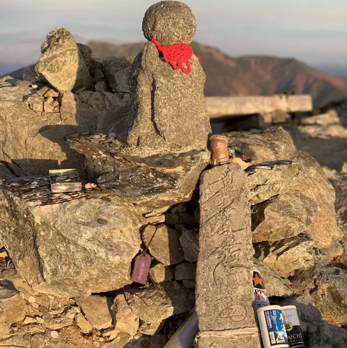
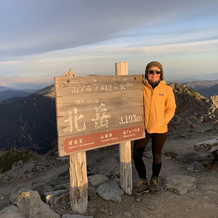
The trail climbed gently and the sunrise views of Mount Fuji and the sea of clouds were beautiful. I reached the summit at 7:30 a.m. and the weather conditions couldn’t have been better. Just look at the photos! No words can describe it.
Arriving at the top after sunrise was a great idea. I could enjoy the "golden hour" - the first hour after sunrise - without getting too cold, as the sun was already out.
Descend from the summit
The first 30 minutes of the descent to Kata-no-Koya Hut are steep. Climbing from this side is definitely more difficult, but at the same time shorter. I walked slowly because it was quite slippery due to the snow and ice on the trail. But don’t worry, if you climb in the summer and not in November like me, there will be no ice.
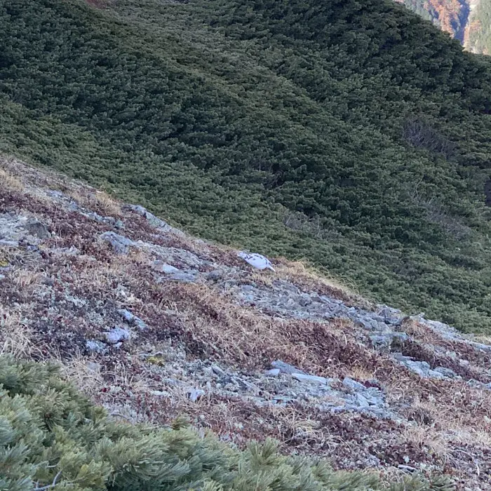
Although the trail became less steep after passing the mountain hut, I still walked slowly to enjoy the views and was rewarded with the rare sighting of a rock ptarmigan, the famous Japanese “thunder bird” called a raicho.
slowly going down
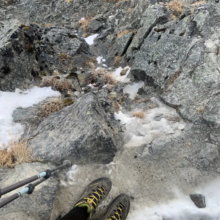
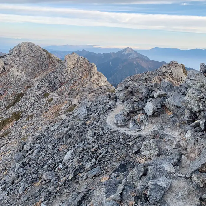
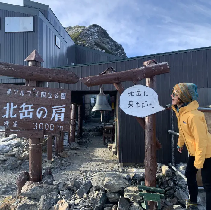
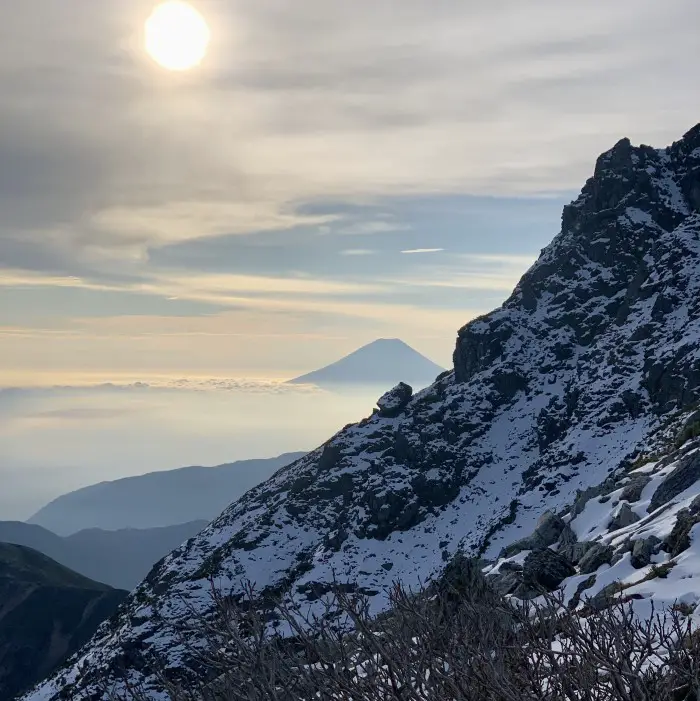
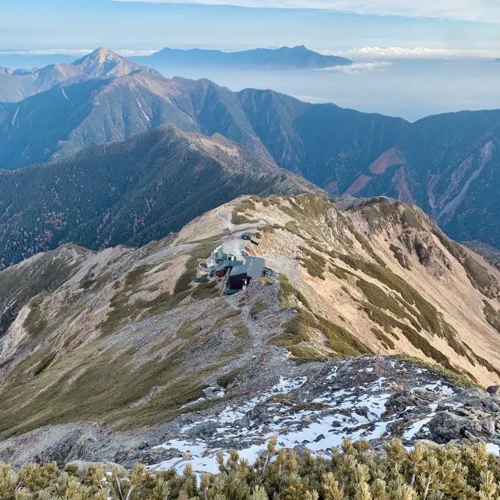
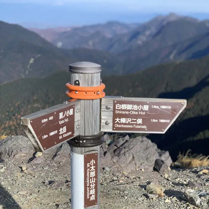
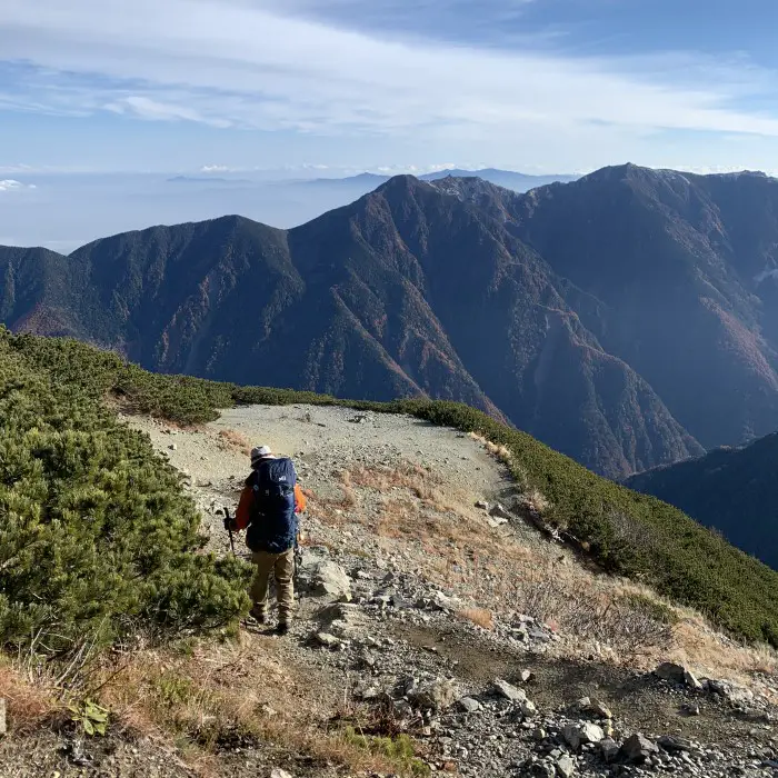
From the Mt.Kotaro/Kotaroyama junction, it is a 1 hour 40-minute steep, never-ending descent to Shirane-Oike Hut. Once I arrived at the pond, I took a long break to rest my knees. The last part through the forest to Hirogawara also seemed more difficult than on the first day. But I guess what they say is true: the descent is often more difficult than the ascent. Besides, it was a very long and tiring day.
It was tough. You can't see on these nice photos how exhausted I was.
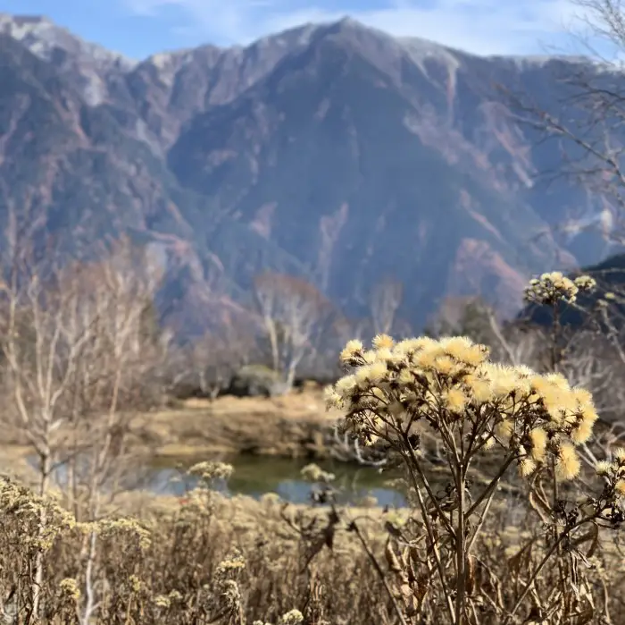
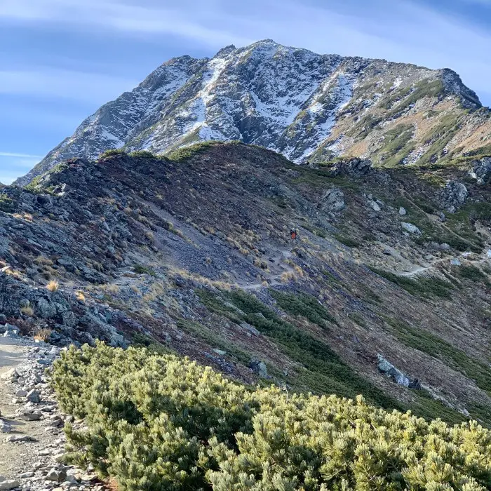
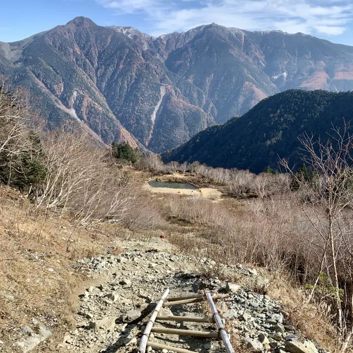
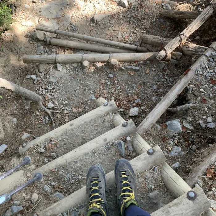
I arrived at Hirogawara an hour before the bus departure and after two days of living on cup noodles, I could finally eat something normal. Soba noodles have never tasted so good.
I didn't remember that last part was so steep!
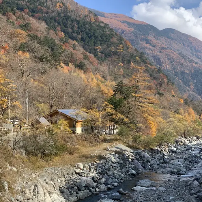
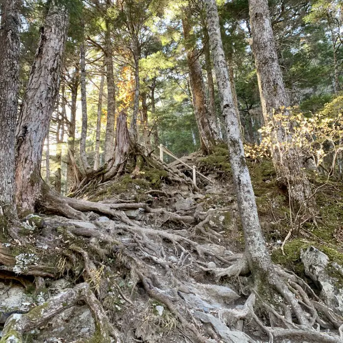
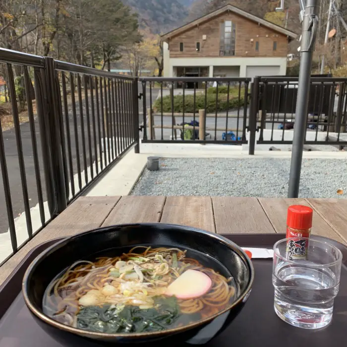
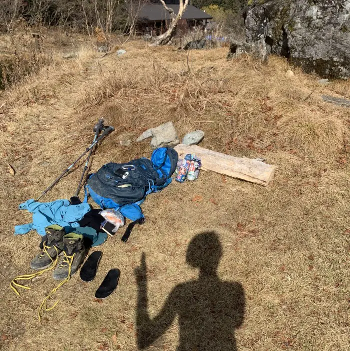
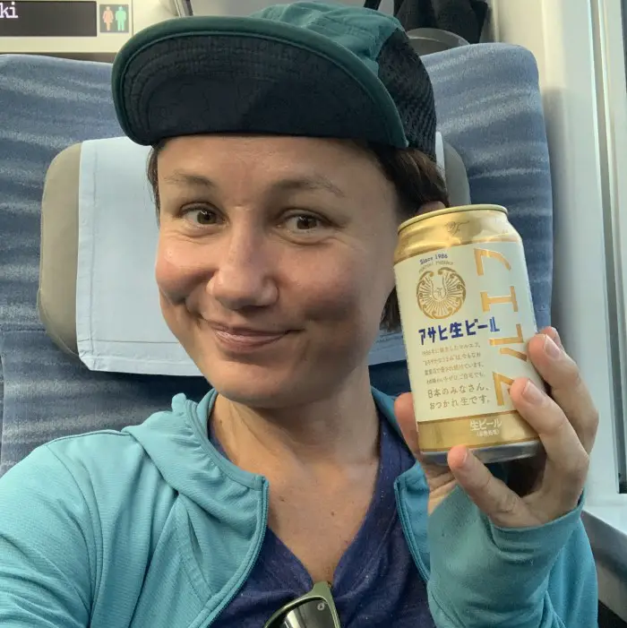
Unfortunately, the well-deserved beer was sold out. After all, it was the last day of the season. But I knew that FamilyMart at Kofu Station would not let me down…
... and it didn't 🙂
The end
When I set off for the hike I had many doubts and fears. I was scared of meeting a bear, which I usually don’t think of too much, but recently I read about some bears on this trail and could not erase it from my mind. I also knew some parts of the trail would be icy and there would be some snow, and was hoping that both my microspikes and experience was enough to cope with it. Last but not least, my knee was still not 100% fit after the surgery. Would I be able to climb and, more importantly descend, the rocky summit? What if I fall and get injured again?
But since all the best things in my life are the ones I dreaded, when I woke up on the day of my hike, I knew I had to go. I am so glad I did and I hope you will be climbing Mount Kita soon as well 🙂
III. Climbing Mount Kita: summary
- 8:00-9:30 train from Shinjuku to Kofu
- 10:05-12:00 bus from Kofu Station to Hirogawara (trailhead at 1,500m)
- 2-hour hiking from Hirogawara to Shirane-Oike Hut at 2,200m (break time included)
- 20:00 lights off in the hut, everyone in the bed 🙂
SECOND DAY
- 5-hour hiking from Shirane-Oike Hut (2,200m) to Kitadake Sanso (2,900m) via Happonba Col (break time included)
- 20:00 lights off, everyone in the bed 🙂
THIRD DAY
- 1.5-hour climbing from Kitadake Sanso Hut (2,900m) to Kitadake summit (3,193m)
- 0.5 hour break at the summit
- 2.5-hour hiking down from the summit to Shirane-Oike Hut (2,200m)
- 0.5-hour break at Shirane-Oike Hut
- 2-hour hiking from Shirane-Oike Hut to Hirogawara
- 0.5 hour lunch at Hirogawara
6-hour hiking + 1.5 hour break time – which means if you want to take it slowly, as I did, you need to start your hike around 6:00 AM
- 14:00-16:00 bus from Hirogawara to Kofu Station
- 16:10-17:50 train from Kofu to Shinjuku
- 20:00 lights off, in my own bed 🙂
IV. How to plan 2-day Mount Kita hike
Most people climb Mount Kita in two days. There are also some super powered individuals who complete it as a day hike, while it took me 3 days to do this hike. The number of days you need depends on what time you arrive in Kofu, and subsequently in Hirogawara.
When climbing Mount Kita in 2 days, you must leave Hirogawara no later than 11:00 to reach your destination before it gets dark, which would ideally be the Kata-no-Koya hut below the peak at 3,000 m to spread the hike evenly over two days. In my case, both conditions were impossible to meet. I knew I wouldn’t make it to Hirogawara from Tokyo in time, and Kata-no-Koya was already closed (the hut is open until the end of October).
To climb Mount Kita in 2 days with one night in a mountain hut or in a campsite near the hut, you should spend the night in Kofu, take an early bus to Hirogawara and stay overnight at Kata-no-Koya Hut. In this scenario, you will summit Mount Kita and return to Hirogawara on the second day. If you stay lower at Shirane-Oike instead of Kata-no-Koya, Day 2 will be very long and tiring. But if you’re in good shape, and have a fast pace, it’s certainly doable.
Alternatively, if you arrive in Hirogawara late, you can stay in Shirane-Oike or even stay in Hirogawara Sanso. Plan two nights in mountain huts if you also want to conquer the peaks of Ainodake and Notoridake.
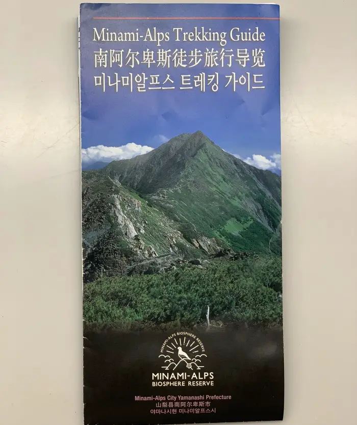
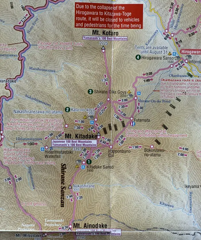
Don't forget to take this free English map at the Information Centre in Hirogawara
V. Getting to Mount Kita's trailhead
From Shinjuku Station, take the JR Chuo Line Limited Express and get off at Kofu Station (~ 90 min).
To ensure a seating spot you can buy your train ticket online (a basic fare + Super (Limited) Express ticket) and pick it up at the station by scanning QR code at the ticket vending machine. The total price of the ticket from Shinjuku to Kofu is around 4,000 JPY.
JR EAST – train ticket online booking
Hop on the Yamanashi Kotsu Bus at the Kofu Station (South Exit) to Hirogawara. Private cars are not allowed to enter the Minami Alps National Park. Taking a bus or taxi is your only option to get to Hirogawara.
Bus journey from Kofu Station to Hirogawara takes 2 hours. In 2023 buses run from June 23 to November 5 with departures:
- from Kofu Station: 04:35*, 06:55*, 09:05, 10:05, 12:05 and 14:05*
- from Hirogawara: 10:00, 11:00*, 12:00, 14:00, 16:40
*Daily departures from July 15 to August 20 only (!), departures only on Saturdays and holidays from August 21 to November 5.
One-way bus fee 2,400 JPY + 300 JPY for an extra fee required by the Southern Alps Mountain Traffic Improvement Council.
You can buy the ticket in the bus or pay with your SUICA/PASMO card.
VI. Booking a mountain hut at Kitadake
Depending on your schedule, amount of time and fitness level, book one or two (out of four available) mountain huts or campsites when climbing Mount Kita.
Hirogawara Sanso / Shirane-Oike / Kitadake Sanso huts can be booked online:
Mount Kita mountain huts online booking
Kata-no-Koya Hut can only be booked via phone. Gambatte!
Kata-no-koya offficial website & the phone number: 090-4606-0068
VII. Useful links for climbing Mount Kita
More blogs about climbing Mount Kita:
More information about huts from JapanAlps.com website
I hope you enjoyed this blog post about climbing Mount Kita – the second-highest peak of Japan. If you have questions or need more information, don’t hesitate to leave a comment. I’ll be more than happy to help! And if you found this article helpful, please leave a comment as well – your feedback always brings a smile to my face 🙂


Great post! I don’t live in Japan anymore but if I did I’d totally try this!
Hi Amberly! Thank you for reading and for such a nice comment. If you ever come back, it will still be there 😉
This was such a great guide! Thank you for this- hopefully get to do this hike soon 🙂
Hi Tina and THANK YOU! I also hope 😉
Thank you for sharing your experience, and super helpful guidelines. Me and husband is planning to hike here soon hopefully. 😊
Hi Andrea! Thank you for your lovely message. Knowing someone finds my writing useful always makes me very happy 🙂 Mount Kita is a beautiful hike. Good luck with your planning and hiking!