Are you going to Nepal and thinking of the epic Annapurna Circuit trek? If yes, I’m sure my Annapurna Circuit trek itinerary with accommodation reviews will help you plan this amazing adventure. A detailed Annapurna Circuit route description, daily distances and tons of practical tips (e.g. how to avoid the dusty road), written by a girl who trekked in Nepal solo <3
IMPORTANT UPDATE: On 9 March 2023, the Nepal Tourism Board (NTB) announced that foreigners, whether solo or in a group, will no longer be allowed to trek in Nepal without a guide. From April 1, all hikers must be accompanied by a licensed guide. Read about the new rule here: BAN ON TREKKING IN NEPAL WITHOUT THE GUIDE – HAS THE RULE COME INTO FORCE? – UPDATE FROM THE TRAILS
What's in this blog post?
ANNAPURNA CIRCUIT TREK DAY BY DAY ITINERARY
DAY 1. Kathmandu > Besisahar (176 km) > Ngadi 930 m (10 km)
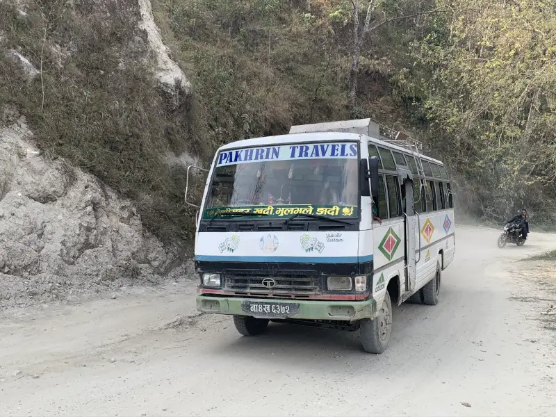
To start your Annapurna Circuit adventure, set off from Kathmandu early in the morning to be able to catch a local bus from Besisahar to Bhulbhule or Ngadi the same day. You will need to show your permits at the first checkpoint in Besisahar.
Practical tip
I do not recommend covering the 12-kilometer route from Besisahar to Ngadi route on foot. The path goes along a busy road where passing jeeps raise clouds of dust. The views are more beautiful in the higher parts of the trek, so it is better to spend your time and energy on the trails in the mountains. Believe me, I speak from experience, initially I decided to walked to Ngadi. Despite being quite tired after a 6-hour bumpy minibus ride from Kathmandu, I didn’t want to give up quickly. Walking along the dusty road in the hot sun I felt so miserable every time a bus passed by me. Therefore, when a friendly Nepalese stopped to ask if he could give me a lift, I did not hesitate for a moment and got into his jeep.
Place to stay overnight in Ngadi
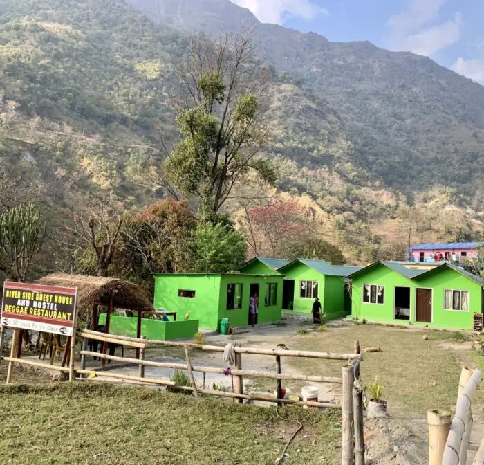
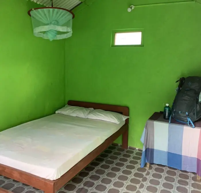
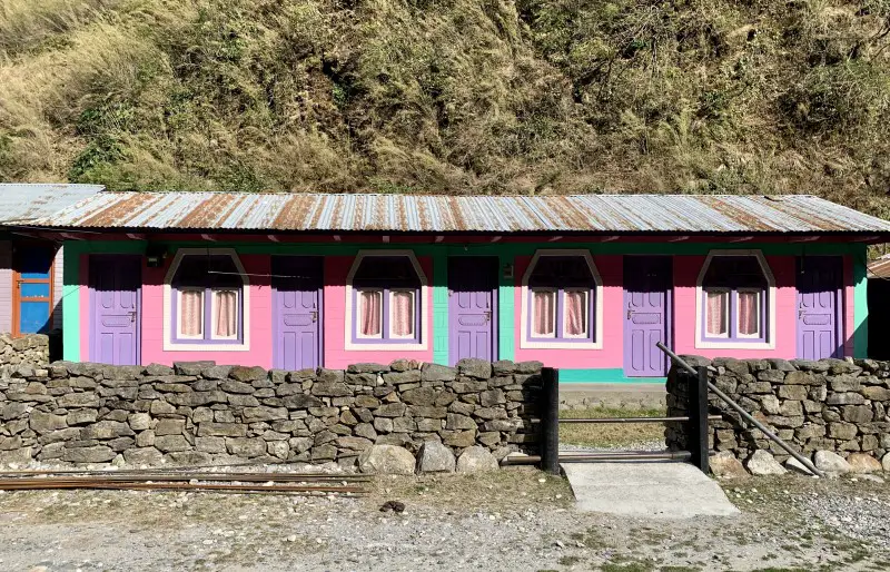
It’s impossible not to notice the brightly painted Riverside Guesthouse, beautifully situated by the river, less than 2 km from the center of Ngadi. The room at the Riverside Guesthouse was very clean and the soup I had for dinner – delicious. Most of the showers are situated outside, but some rooms have attached bathrooms too. I’ve paid 200 NPR (~2 USD) for a night. The owner of the lodge is friends of a Nepalese guy who gave me a lift to Ngadi for free and that’s why I’ve decided to stay here. I wanted to repay his kind gesture, so when he told me about this place, I agreed immediately.
However, if you go by bus to Ngadi, there is no point in turning back and better staying in the village. It might be less charming, but probably also a little bit cheaper.
DAY 2. Ngadi > Ghermu 1,140 m (12 km)
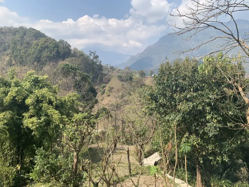
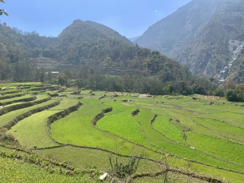
The first part of the day – the ascent to Bahundanda (1,310 m) is quite demanding. At least it was for me. At such a low altitude, it is still hot and humid, so the weight of your backpack bothers you more. The body is not yet adapted to the hardships of the trek and, and all your warm clothes and snacks, make the backpack really heavy. Fortunately, the views are more satisfying than the day before. The lush greenery of the terraced rice fields as well charming villages reward the physical effort.
Practical tip
If you are not hiring a porter and carrying your backpack yourself, bring only essentials. The socks can always be washed, and even if you love paper books, you will be glad you brought your e-book. If you don’t do this, you will already regret it while hiking to Bahundanda…
To learn some very important packing tips for the Annapurna Circuit trek read “What to pack for a trek in Nepal” [coming soon!].
Place to stay overnight in Ghermu
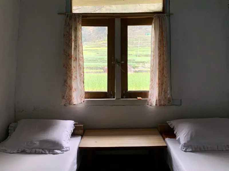
Ghermu is a quieter place than Syange, situated by the busy road. The Rainbow Hotel is the last lodge in Ghermu before going down to Syange. It has nice very views from the windows. You can see a huge waterfall on one side and green rice fields on the other. The conditions were not bad, although the soup I ordered for dinner was very watery. I’ve paid 200 NPR (~ 2 USD) for a night. While passing through Ghermu, the Crystal Guest House made a better impression on me, at least from the outside. It’s at the beginning of the village so it’s worth checking it right away as you may feel too tired to come back later. At least that’s what happened to me.
DAY 3. Ghermu > Tal 1,700 m (14 km)
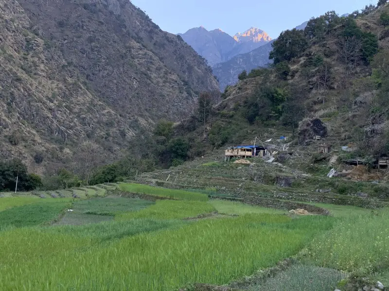
Jagat, 2 hours away from Ghermu, is a very nice place for lunch. Otherwise, if you feel like walking more the previous day, it’s a good place to stay for a night. Most of the trekkers, who cover the initial part of the Annapurna Circuit trek in jeeps, do not stay in this charming village and go directly to Tal. It is quite sad if you think about the lodge owners in Jagat. Nevertheless, Tal is really beautiful. The colorfully painted comfortable guest houses are located on the shore of Marsyangdi river nearby spectacular cliffs. The choice and standard of accommodation options is great. There are over 20 lodges in Tal.
Overall, it was a demanding day, especially the final ascent from Khamje do Tal. But there is good news too – I got used to the weight of my backpack – finally it feels lighter.
Practical tip
The official Annapurna Circuit route is marked with red and white signs resembling the flag of Poland. The section between the Syange and Chamje is a new trail, which was created recently to minimaze walking time along the dusty jeep road. This new route is more challanging as it follows mountain paths rather than the flattish road. It takes you up to the steep slopes just to bring you down in a moment as it connects with the main road from time to time.
Up to Jagat, I followed the new trail, but between Jagat and Khamje I walked along the main road. I wanted to save some energy for the final ascent to Tal. The views are similar, no matter which trail you choose to walk. The road traffic, at least in my case, was very little. From Khamje, however, it is worth choosing the official new route, because it is more spectacular and also shorter than the old road.
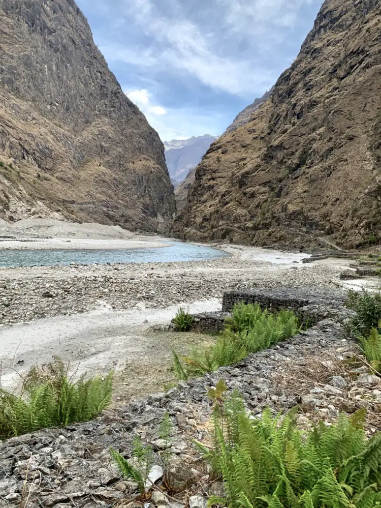
Place to stay overnight in Tal
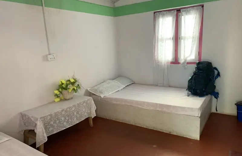
Tashi Delek Guesthouse offers probably the highest standard of all the lodges I stayed on my Annapurna Circuit trek. The cost of the large and clean room with its own bathroom with a hot shower is only 200 NPR (less than 2 USD). “Tashi delek”, which is a cordial greeting in Tibetan language, similar to the Nepali “namaste”, is a popular name for lodges in the Annapurna region.
On the way to Tal I stopped in Jagat for a cup of masala tea in the beautifully located Hotel New Mountain River View and Restaurant. A sunny terrace and a friendly owner are good reasons to stay in this lodge if you spend a night in Jagat.
DAY 4. Tal > Chame 2,670 m (21 km!)
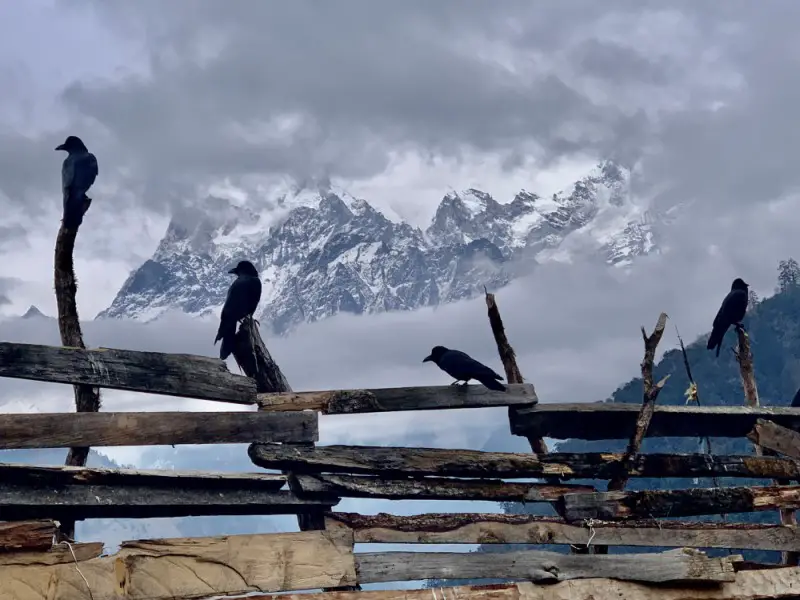
The distance between Tal and Chame is 21 kilometers and the elevation gain is more than 1000 meters. The first part of the day up to Dharapani, where the ACAP checkpoint is located, in Koto there is another one, is quite enjoyable. However, the steep ascent to Timang that comes after is pretty hard. Heavy rain, dark clouds and lack of any views for long hours made it the least pleasant day of my Annapurna Circuit trek.
Practical tip
The route to Chame is long. It took me 2 hours to walk the Danque – Timang section, which according to the Lonely Planet guide, it’s only a 1-hour walk. Walking 3 kilometers from Thanchowk to Koto took me also longer (1 hour) than what’s written in the Lonely Planet (35 minutes). I’m not sure if I was too slow, but keep that in mind when planning your day. Staying overnight in Timang might be a better idea. I will certainly do it next time. Especially since I didn’t like Chame that much.
Place to stay overnight in Chame
I’ve paid 200 NPR (less than 2USD) for a double room in the Monalisa Guesthouse, which to be honest, I didn’t enjoy a lot. It wasn’t the cosiest and the cleanest place. The plate of momos was generous, but a mouse running under my feet during the dinner did not improve the overall impression.
DAY 5. Chame > Upper Pisang 3,300 m (14 km)
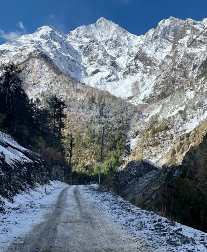
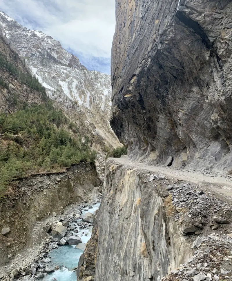
Even though the trail from Chame to Dhikur Pokhari takes you along the jeep road, it is a very pleasant and enjoyable walk. The views over Manaslu (8,163 m) and Annapurna II (7,937 m) are amazing! From Dhikur Pokhari you can continue walking along the main road to Lower Pisang. However, I highly recommend the new route to Upper Pisang as it is more interesting.
Practical tip
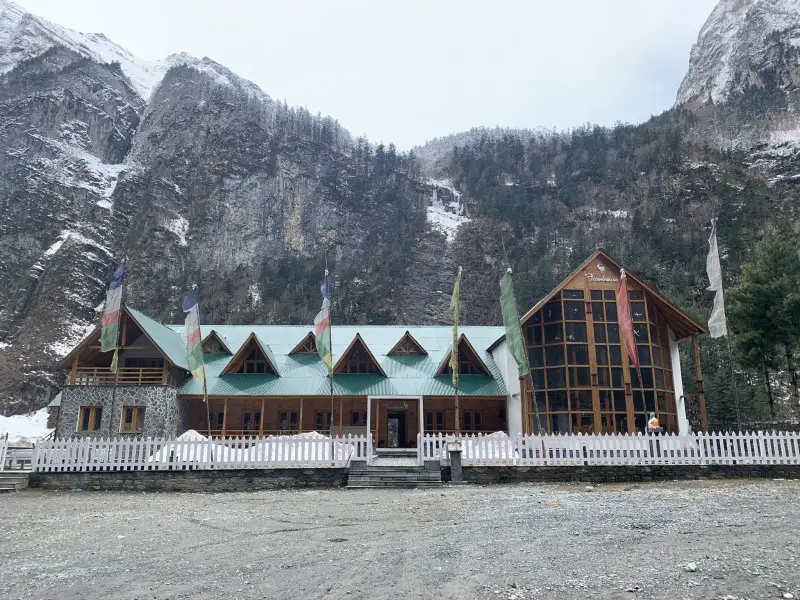
About 2 hours after Chame, you can stop in Bhratang for a really good coffee or apple juice. This is where the Agro Manang – Nepal’s largest, newly built apple farm is located. You can also stay at the luxurious Farmhouse Hotel, which offers not only heated rooms with private bathrooms, a dining room with a fireplace and sauna, but also a cheaper dormitory.
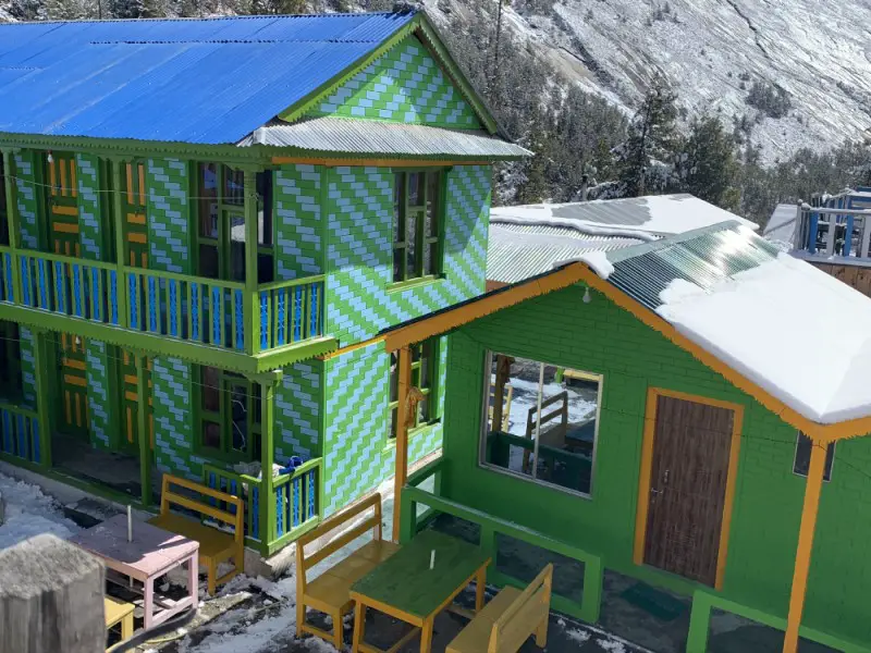
Dhikur Pokhari is a nice place for a lunch break as well. It is worth stopping at least for tea on one of the sunny terraces of colorfully painted lodges. It’s a truly fairytale scenery.
Place to stay overnight in Upper Pisang
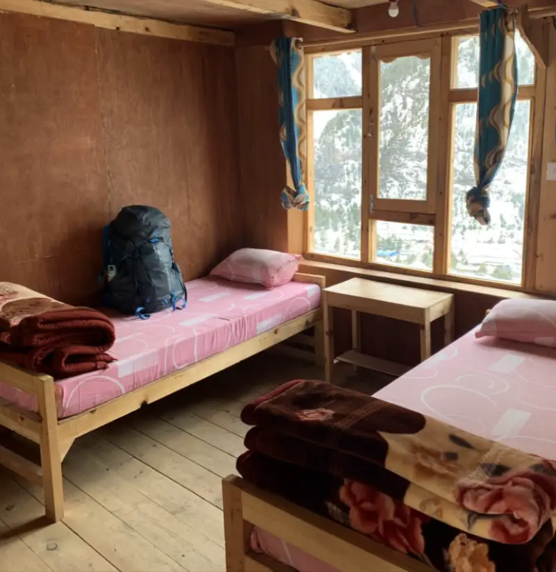
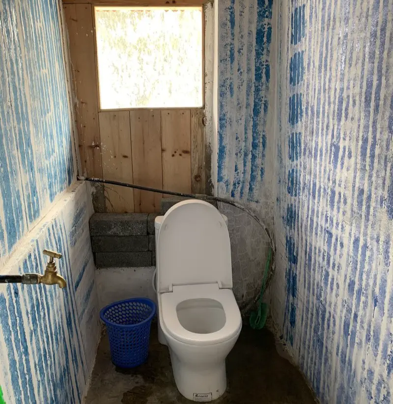
I’ve loved the newly opened and spotlessly clean Mandala Hotel & Restaurant in Upper Pisang. The wooden decor makes the rooms cosy. Both the hot shower and the water pressure are great. You will even find a towel hook here, which despite its simplicity and great use, is not a popular item in the Himalayas. A friendly owner wlecomes guests with a free cup of hot tea. You might not think it is so important, but on the Annapurna Circuit trek, such things make you happy. You start appreciating more all the little things and gestures as your life is so simple.
It was also the first time I had been offered a room for free. Depending on the season and occupancy, some lodges offer a room free of charge, if you order breakfast and dinner.
DAY 6. Upper Pisang > Ngawal 3,660 m (11km)
There are two paths from Upper Pisang to Manang. Easier and shorter route takes you along the main road (lower route). The more difficult, but incomparably more interesting trail (the so-called upper route) leads you through a beautiful pine forest and authentic villages of Ghyaru and Ngawal.
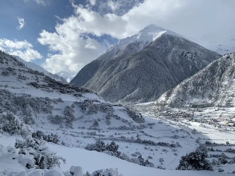
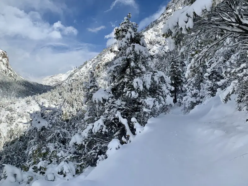
Of course, I recommend the latter option, as the views of Annapurna II (7,937 m) and III (7,555 m) are just breathtaking! Keep in mind however, that the ascent to Ghyaru is quite demanding. It’s worth leaving Upper Pisang early in the morning to have as much time as possible.
Practical tip
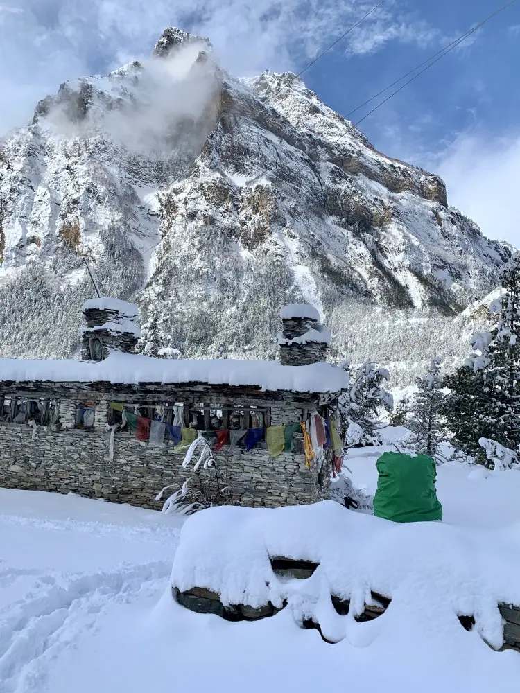
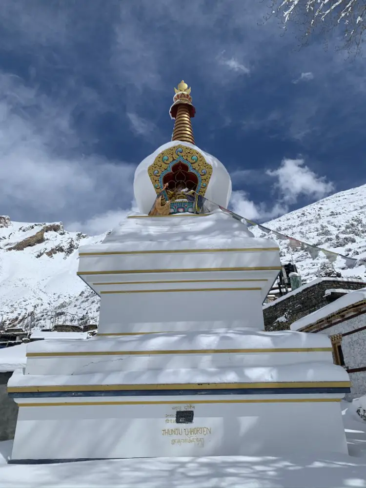
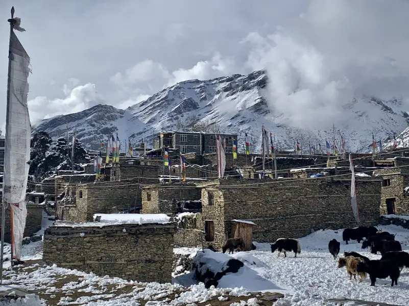
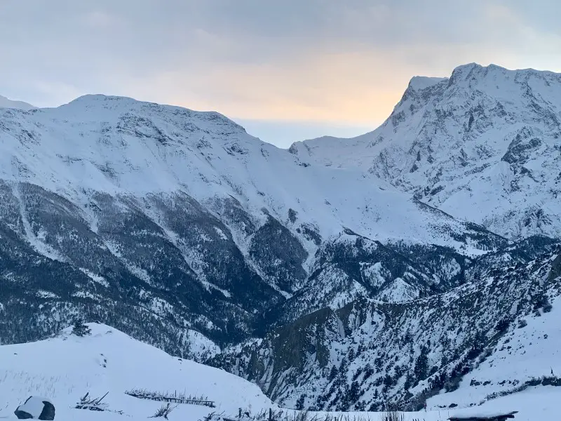
Most people walk from Upper Pisang to Manang in one day. If you choose the upper route, it is quite a long day (21 km). Since I was tired and the weather got worse (it started snowing), I decided to spend the night in the beautiful village of Ngawal. It’s a great place to stay not only because of the amazing scenery. Its location – 100 meters higher than Manang – can help you to acclimatize better.
Place to stay overnight in Ngawal
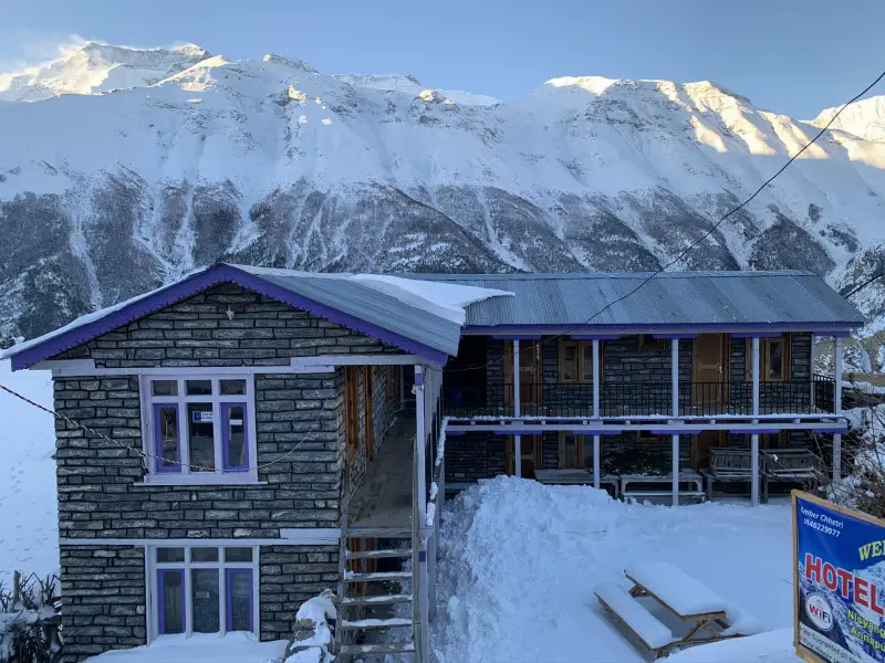
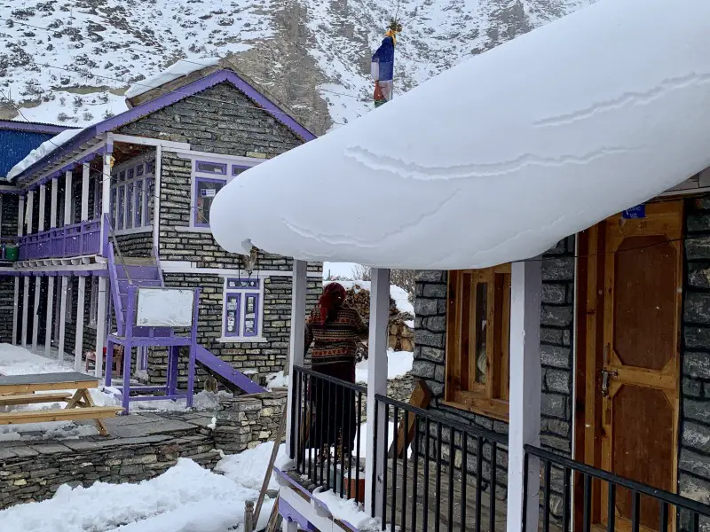
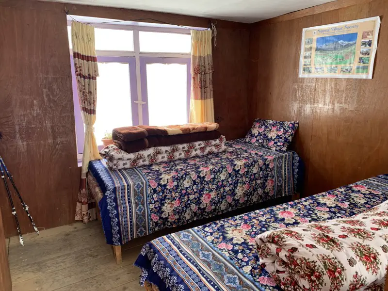
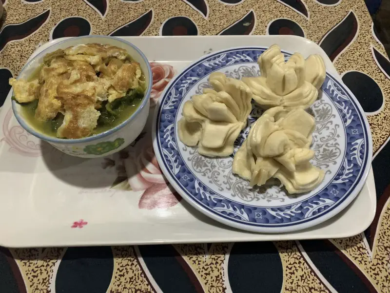
The Peaceful Hotel in Ngawal is great for down-to-earth reasons such as a comfy bed with a very thick mattress. The room is nicely furnished and, if you eat at the lodge, it’s free of charge. You have the opportunity to taste interesting Tibetan dishes from an extensive menu. Besides, the head of a real yak welcomes you at the entrance. It may seem initially a bit controversial, but in Nepal and Tibet, yaks that came from heaven according to ancient beliefs are worshiped and bring happiness.
DAY 7. Ngawal > Braka 3,440 m (8 km)
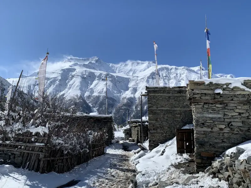
There are two paths from Ngawal to Manang. The trail through Julu is magical because of the stunning views. Although it is quite easy to reach Manang (it is less than 10 kilometers from Ngawal), I decided to stay overnight in a village located 2 kilometers before Manang – Braka.
Practical tip
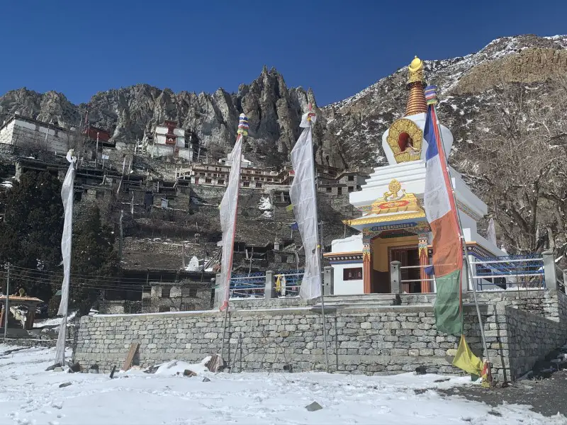
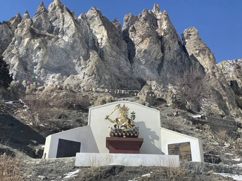
If you plan hiking to Ice Lake on your acclimatization day, surrounded by amazing rock formations Braka is a more convenient place to stay than Manang. This is where the main trail to Ice Lake starts. Besides, it is one of the most picturesque villages on the entire Annapurna Circuit trek.
Place to stay overnight in Braka
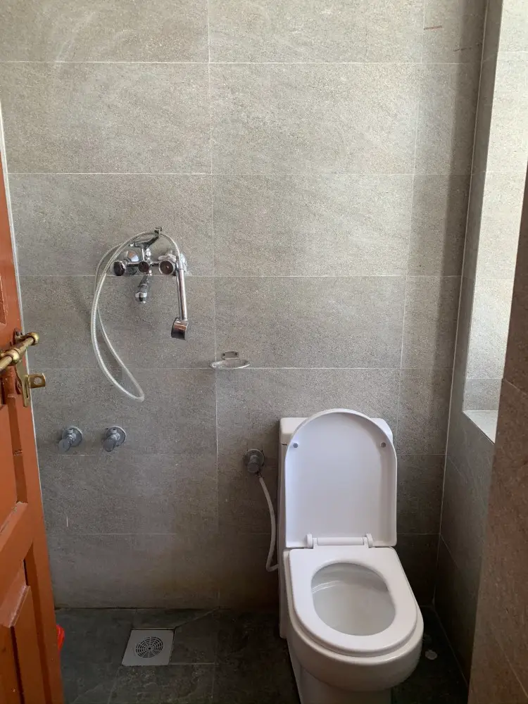
No wonder the New Yak Hotel is very popular. The rooms are beautifully decorated, the tiled bathroom has a very impressive modern toilet and the hot shower works great. Although huge burgers are a specialty, my personal choice is the tomato soup which tasted like grandma’s.
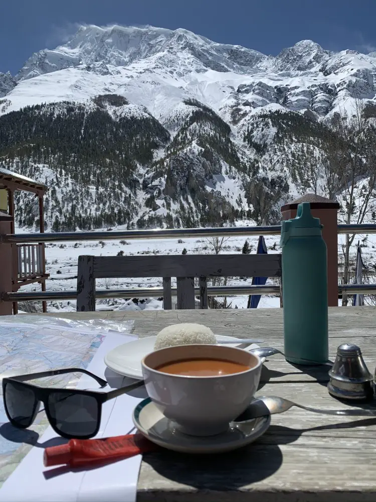
DAY 8. Braka > Ice Lake 4,620 m > Braka (12 km)
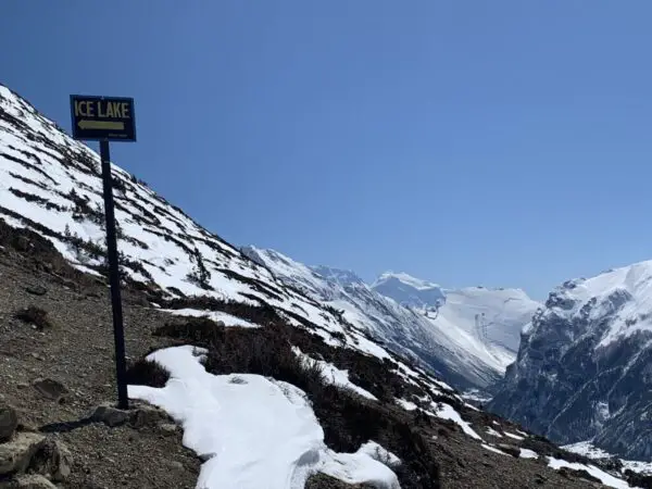
In order to acclimate on the Annapurna Circuit trek, many trekkers go to Lake Tilicho before heading towards the Thorong La Pass. When I arrived this quite demanding route taking several days to complete was closed due to heavy snowfall. I went for a day trip to Ice Lake instead, which is an equally interesting option.
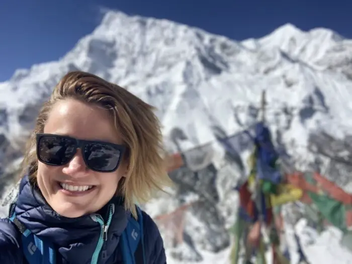
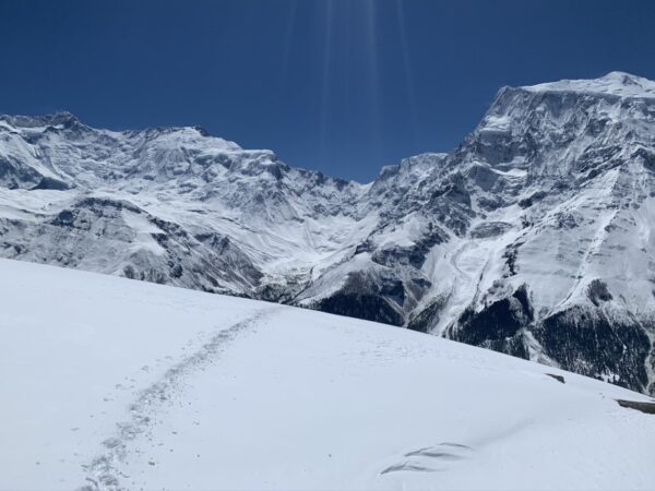
Despite being considered easier than Tilicho Lake, the Ice Lake trek was the most difficult day on the Annapurna Circuit trek so far. Steep 1000-meter climb and high altitude made it very difficult to breathe, and huge amounts of fresh snow made the trail almost invisible. It was worth it after all! Just look at my smiley face. The views of Annapurna II (7937 m), III (7555 m) and IV (7525 m) were wonderful and it definitely helped with the acclimatization.
Practical tip
About halfway to Ice Lake at the altitude of 4,260 m you can find a typical Himalayan tea house serving hot teas and simple meals. Don’t forget to bring your own food and water for the Ice Lake trek though. The tea house is not always open.
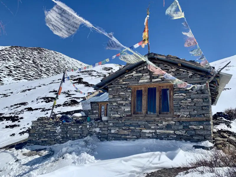
2nd night in Braka
Initially, I had an ambitious plan to change lodges and move to Manang. However, after an exhausting trek to Ice Lake, staying for one more night in Braka was so convenient. A hot shower, a well-deserved dinner and a comfortable bed seemed like a better idea than a 2km walk to Manang with a heavy backpack on my back.
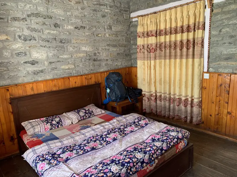
DAY 9. Braka > Yak Kharka 4,050 m (12 km)
I was so tired the day before that my plan was to chill out and relax in Manang all day. Good coffee, lots of delicious food and some shopping – that’s what I needed. Besides, I knew that buying a pair of decent sunglasses before going to the Thorong La Pass was a must. Not having good sunglasses turned out to be a real issue on my very snowy and sunny Ice Lake trek.
To learn more about the risk of snow blindness on the Annapurna Circuit trek check out my blog post “DANGERS WHILE TREKKING IN NEPAL AND HOW TO AVOID THEM”.
Unfortunately, Manang did not live up to my expectations. I thought it would be similar to the incredibly charming and lively Namche Bazaar on the Everest Base Camp trek, full of eateries, cafes and shops. But it wasn’t like that. After buying sunglasses, drinking my first coffee after 10 days and eating a plate of momo dumplings, I decided to move on. I had nothing else to do in Manang. The weather was beautiful. I felt strong and rested. There was no need to waste valuable time.
Although it is quite a long walk to Yak Kharka, it is relatively flat and very pleasant. Especially if I compare it to the grueling ascent to Ice Lake the day before.
Practical tip
Less busy than Manang Gunsung, located 100 meters lower than Yak Kharka, it is a good place for lunch or even for a night. Stay a little longer here if you start experiencing symptoms of altitude sickness. The views of the Annapurna Massif are magnificent. Overall, it’s a fantastic place to rest.
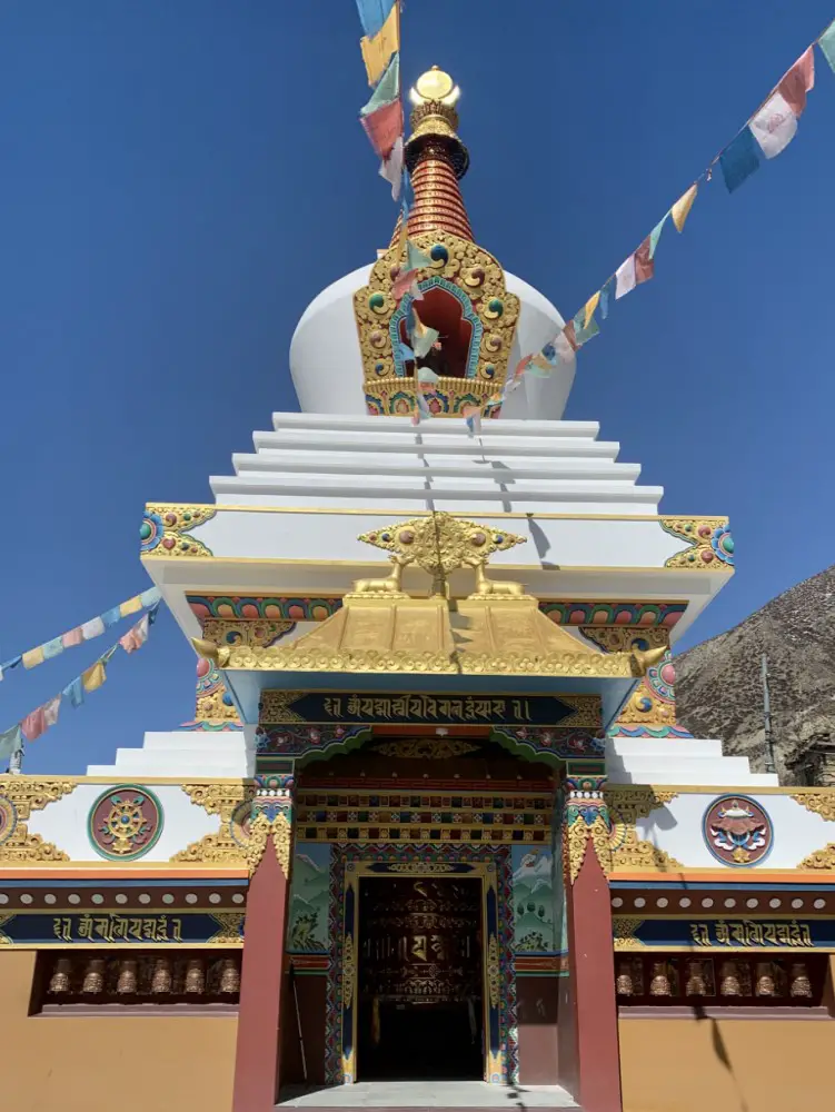
Place to stay overnight in Yak Kharka
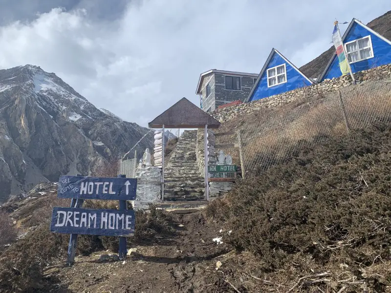
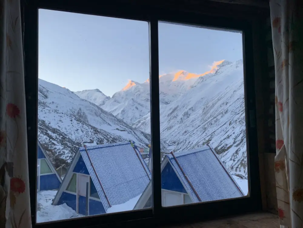
I really enjoyed staying at the Dream Home Hotel in Yak Kharka. A clean, nicely decorated room with an attached toilet, a warm dining room, delicious food and a kind owner, that’s all you need at 4,000 m above sea level.
DAY 10. Yak Kharka > Thorong High Camp 4,850 m (8 km)
If you are well and the weather is fine, it can be very pleasant to walk from Yak Kharka to Thorong Phedi. However, without good acclimatization, it is impossible to enjoy it. I saw many people coming back to Manang. They felt sick.
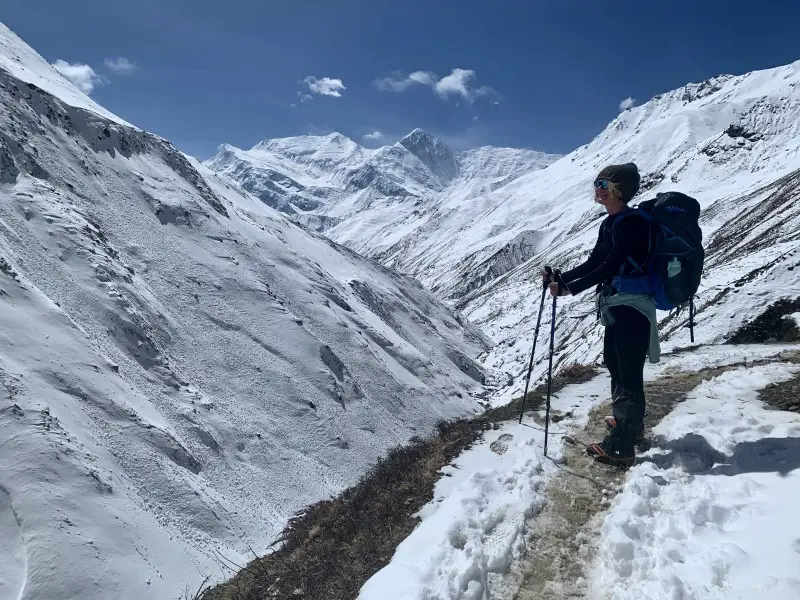
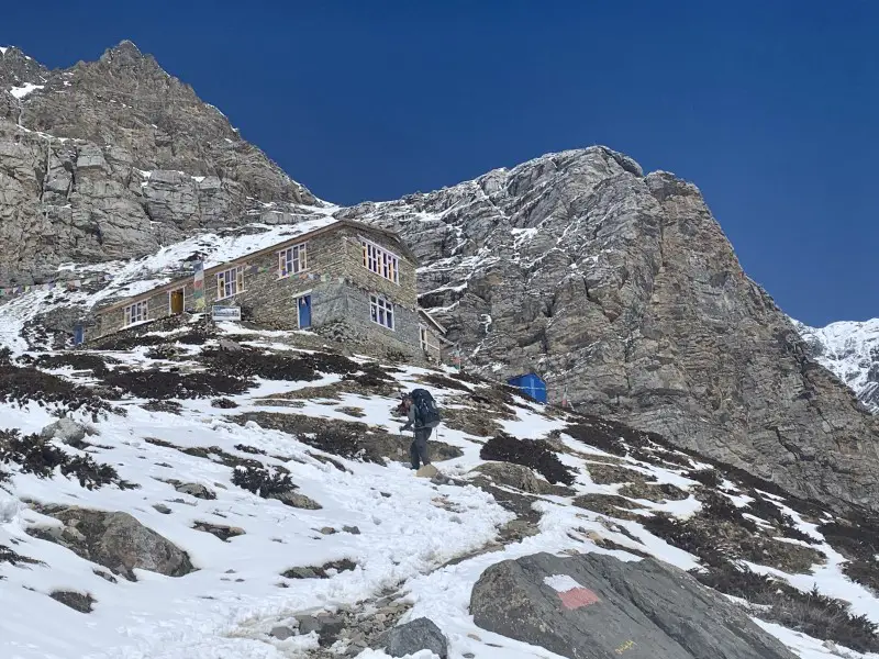
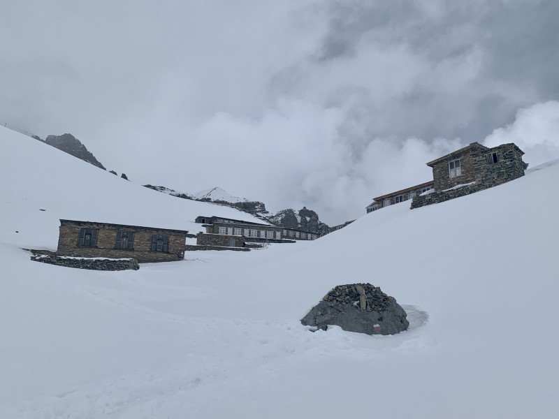
It took me 4 hours to reach Thorong Phedi (4,525 m) where most trekkers stay overnight. But took my time and made a stop every 5 minutes to take a picture of the amazing views. Due to the risk of altitude sickness, the 800-meter ascent from Yak Kharka to Thorong High Camp is not recommended. At this altitude, you should not sleep higher than 400 meters compared to the night before. Therefore, Thorong Phedi is a safer choice. In addition, a night at nearly 5,000 m is usually not a great experience. It’s cold and the thin air makes breathing difficult. In short, I do not recommend spending the night at Thorong High Camp to anyone who has never slept at this altitude before.
I had no symptoms of altitude sickness. A few days ago I reached Ice Lake at an altitude of 4,600 m. Most importantly, I knew my body quite well after completing Everest Base Camp trek the year before – I slept like a baby in Gorak Shep at 5,164 m. I felt comfortable about the idea of sleeping at Thorong High Camp.
It took me 1.5 hours to reach Thorong High Camp from Thorong Phedi. Even though it was steep and demanding, I was glad I did. This made it much easier for me to climb Thorong La Pass the next day.
To learn more about the risk of altitude sickness on the Annapurna Circuit trek read “Dangers while trekking in Nepal and how to avoid them“.
Place to stay overnight in Thorong Base Camp
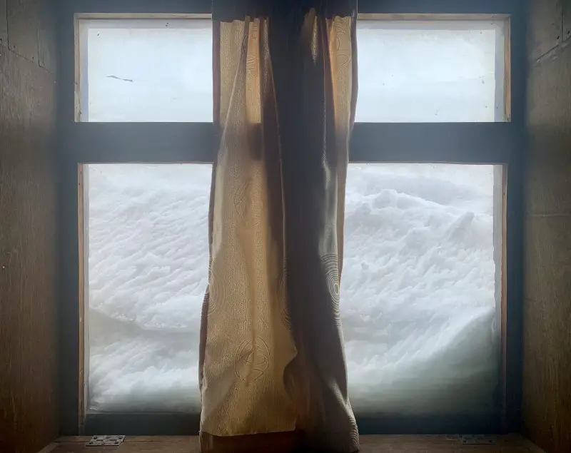
At this altitude it gets really “interesting”. Unless you are well acclimated to altitude, the night can be terrible. Expect breathing difficulties, nausea, and a headache. Worse, the room you’re trying to sleep in will be terribly cold. The water will freeze in your bottle. Yes, it’s freezing. A good sleeping bag is essential. The toilet, or rather a nasty outhouse, is outside. The temperature is well below freezing and it can snow as well. Are you ready for it? This is Thorong Base Camp. The good news is that all this “luxury” costs only 350 NPR for a night (3 USD).
DAY 11. Thorong High Camp > Thorong La Pass 5,416m > Muktinath 3,760m (12 km)
The most awaited day of the Annapurna Circuit trek! Will I finally cross over to the other side? My biggest concern was the weather as the day before it started to snow at night. I was afraid the pass would be closed due to the snowfall. It happens quite often as the snow makes the trail invisible and dangerous. Waiting for the trail to reopen and spending more nights in a not very inviting High Camp was not the ideal situation…
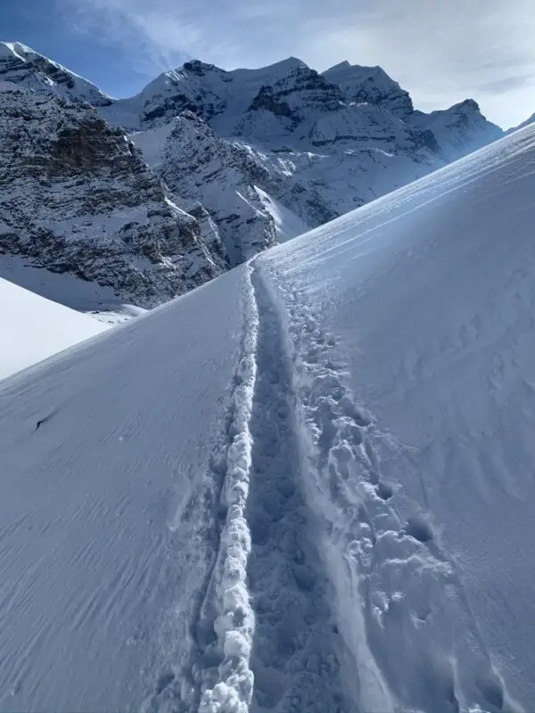
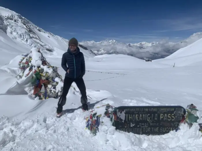
Fortunately, I could set off in the morning. The trail was open! It took me 4 hours to get to the pass, but remember – I never walk fast. The huge amount of fresh snow made walking difficult. If only I had my snowshoes with me… 🙂
On the bright side of life, crossing the Thorong La Pass was easier than the very demanding Kongma La Pass in the Everest region. In addition, just before the Thorong La pass at over 5,000 m, and also on the pass itself, there are two small tea rooms offering hot teas and chocolate bars. This can only happen in the Himalayas!
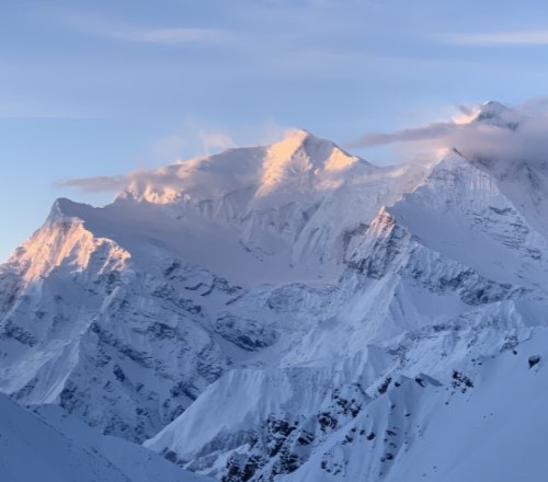
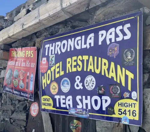
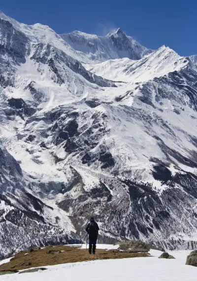
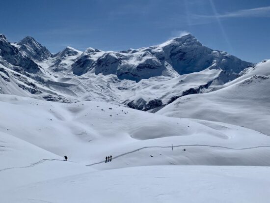
Needless to say, the 1,500-meter descent to Muktinath, which took me 5 hours, is long and exhausting – especially for the knees. Although the deep snow did not make the descent easier, the weather was splendid. The sky was clear and the views of Dhaulagiri (8,167 m), Nilgiri Himal and the mysterious Mustang region were wonderful. I was in no rush. Actually, I wished time could stop so that I could enjoy these incredible mountains longer.
Practical tip
Many people decide to leave the High Camp before dawn, even at 4 am. It’s true that at this altitude, it is best to set off early. In the afternoon, near the pass, the wind can get very strong. Nevertheless, I find setting off before 6 am excessive. I’m not saying this because it’s freezing cold, or because the Lonely Planet – the world’s most famous guide – also advises against it. I say that because when I asked a Nepali, working at the High Camp, why people leave so early in the morning, he replied without hesitation – “because they are crazy”!
Place to stay overnight in Muktinath
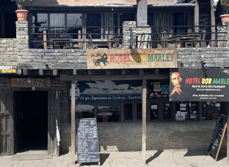
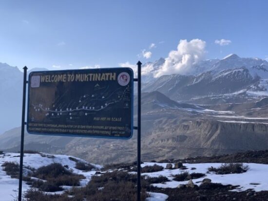
After a tough night at Thorong Phedi or High Camp, you will feel amazing in any of the hotels in Muktinath. Most of the trekkers I met on the way stayed at the Bob Marley Hotel. Despite relatively high prices, it is very popular. The atmosphere is friendly, and the food is good. It is as simple as that. If you are looking for a cosy place for a drink (yes, you don’t have to worry about acclimatization anymore!) and spend some time with other trekkers, this is the most suitable place for you. It’s great to celebrate the most thrilling moment of the Annapurna Circuit trek – crossing the pass!
I decided to stay at the Buddha Hotel, located right next to the Bob Marley Hotel. Despite its more appropriate name (Muktinath is a famous pilgrimage destination), the Buddha Hotel is a bit less popular. By the way, who would have thought Bob Marley and Buddha would one day stand side by side? 🙂 I had a comfortable room with a private hot shower and probably the best momo on the Annapurna Circuit trek. I couldn’t have asked for more!
DAY 12. Relax in Muktinath
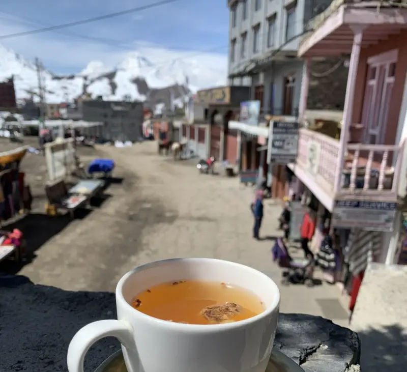
All the pressure finally gone. I was on the “other side” and I no longer had to worry about the weather or if my body would handle the altitude well. I felt tired, needed a rest, and I was in the perfect place. A lazy morning with a delicious coffee on the sunny terrace quickly helped me recharge my batteries. It was time to explore the beautiful surroundings.
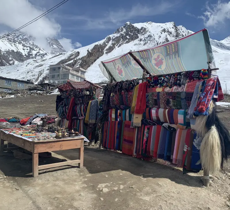
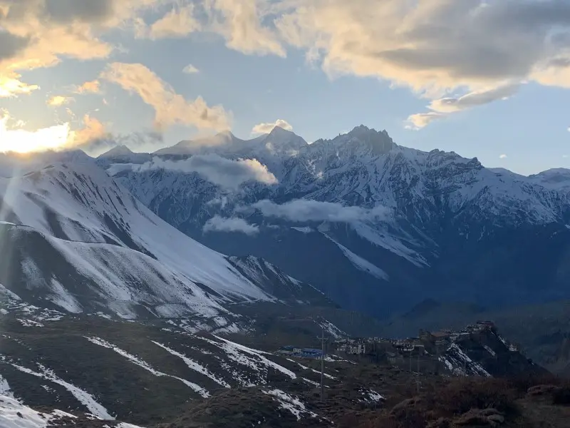
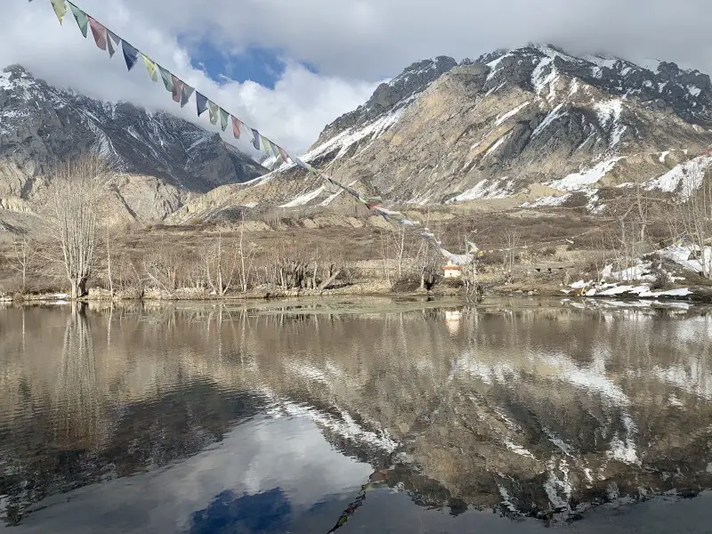
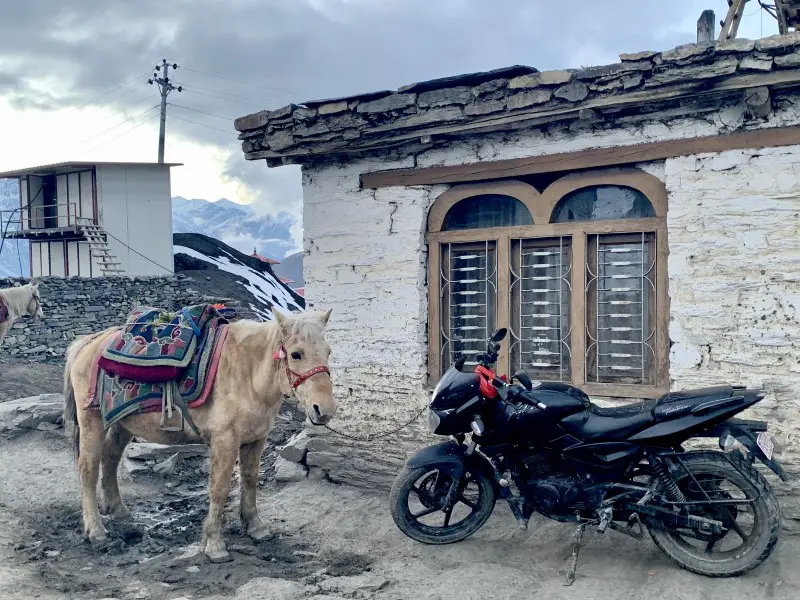
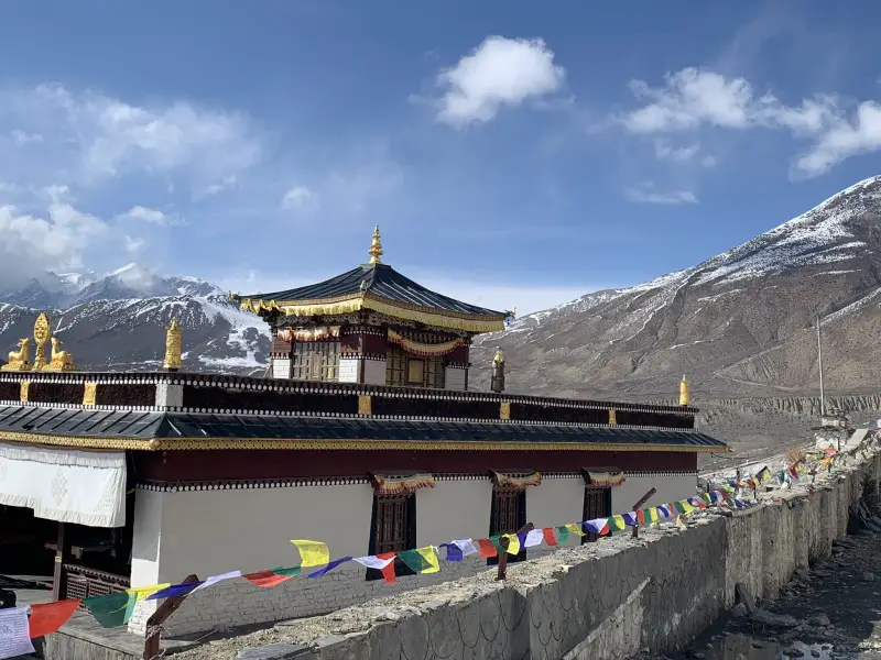
The Muktinath area has a lot to offer. If you have time, it’s worth staying here for an extra day. The temple complex is a famous pilgrimage destination for both Hindus and Buddhists. The huge Buddha statue on the complex grounds is very impressive. After visiting the temples, I decided to go for a stroll, which was a fantastic idea. Just before the sunset, I reached a wonderful viewpoint on the way to Jharkot. The spectacle of extraordinary colors had just begun, and there was only me sitting in the audience…
Practical tip
Muktinath is the official name of a temple complex, not a village. Although the name of the place where the lodges are located, is Ranipauwa, most of the trekkers call it Muktinath as well.
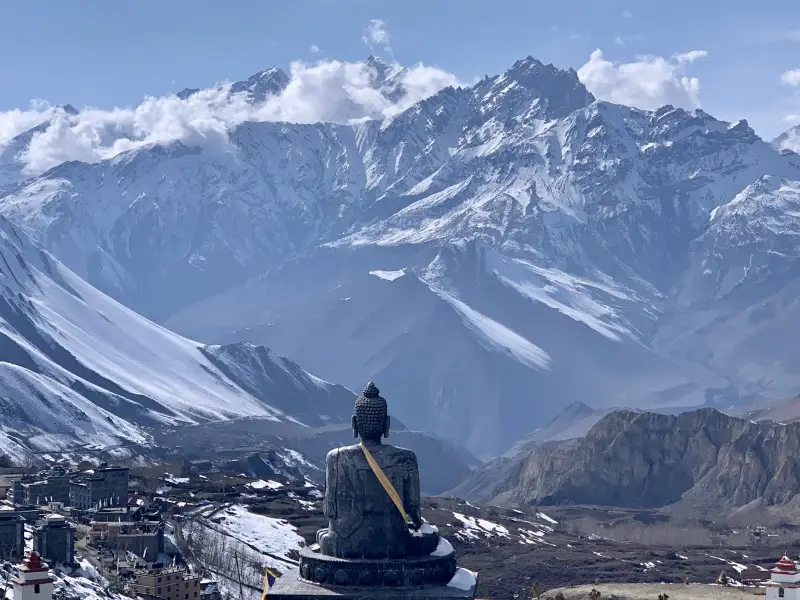
2nd night in Muktinath
Second night at the Buddha Hotel, which means only good things to me – more delicious momos and no need to pack and unpack again.
DAY 13. Muktinath > Kagbeni 2,850 m (13 km)
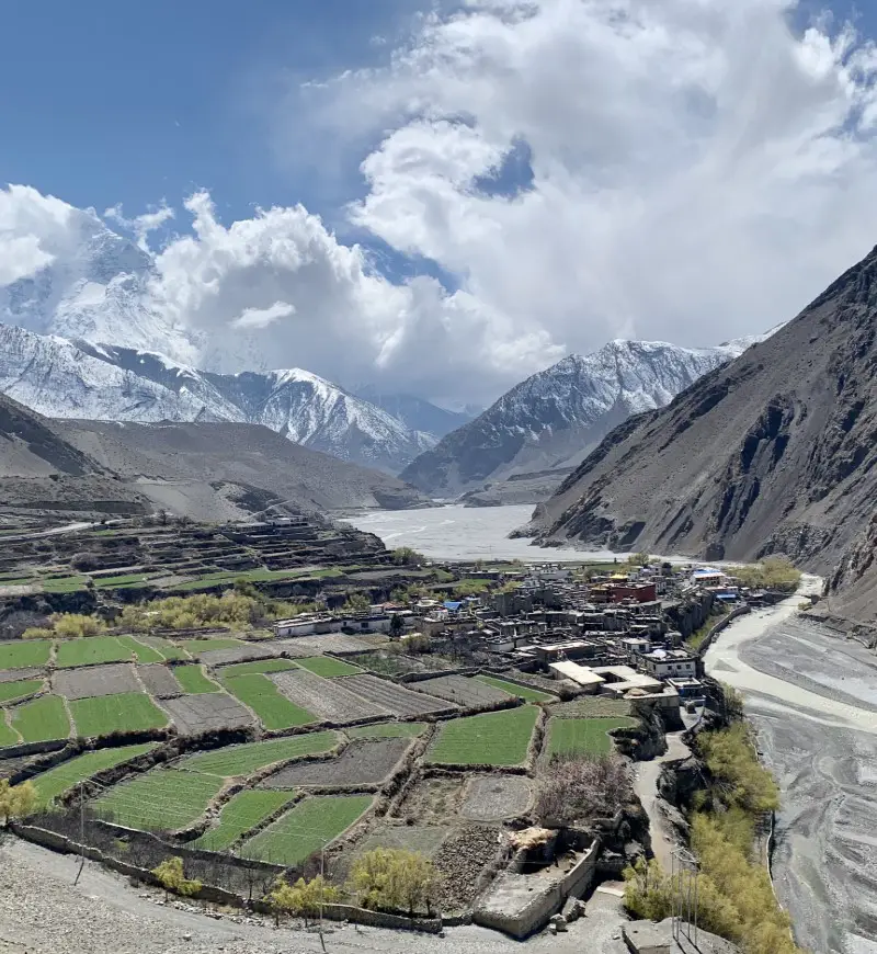
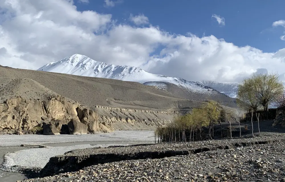
The scenery changed drastically. There was no more snow. The landscape was arid and dry -like a desert. The immense space around me gave me an extraordinary sense of freedom. Views were incredible and, at the same time, very different from those I got used to on the other side of the Thorong La Pass. Snow-capped peaks in the distance, however, did not allow me to forget that I am still in Nepal.
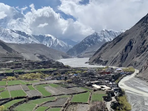
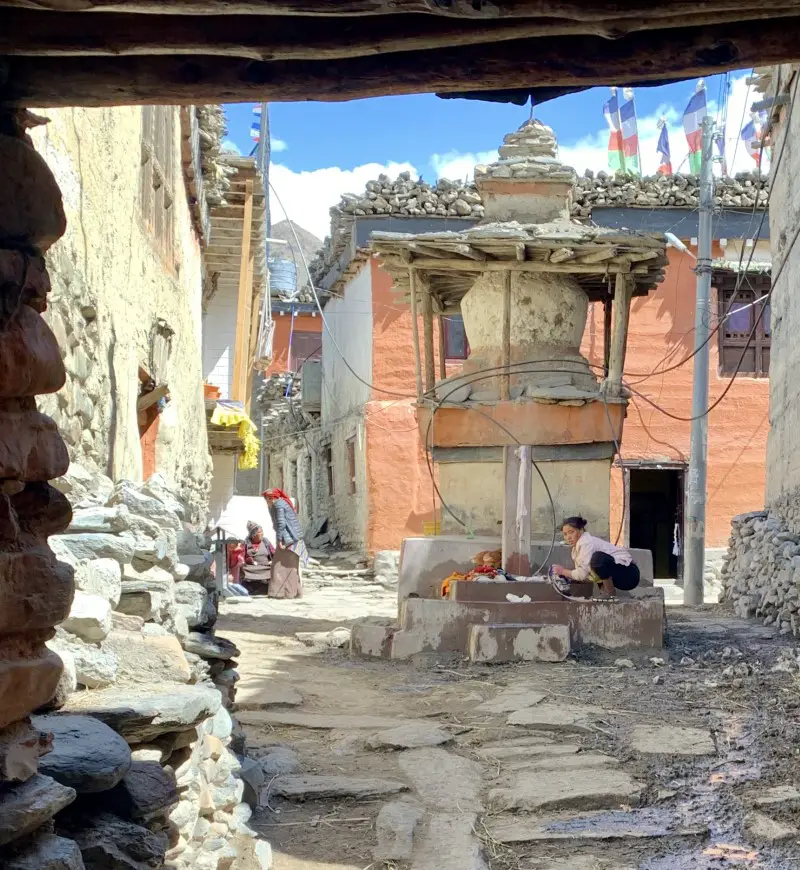
After spending a week in the land of snow and ice, the view of the Kagbeni village surrounded by greenery seemed unreal. Stepping into the village was like travelling into the past. Cobbled narrow streets, houses made of clay, a 15th-century monastery, women chatting and washing clothes in the streets, young monks playing around, old people sitting on the ground with the prayer wheels in their hands. This vibrant street life created an extraordinary atmosphere. This is how I imagine life in the Middle Ages.
Practical tip
If you choose to walk on the main road and go through Jharkot, it is 10 kilometers from Muktinath to Kagbeni. A slightly longer, but more interesting path takes you through the villages of Chongur, Jhong and Putak, which until recently were inaccessible to most of the trekkers. Taking this route a few years ago was impossible without buying an expensive permit. Now this trail is an official part of the Annapurna Circuit trek, therefore no special permits are required.
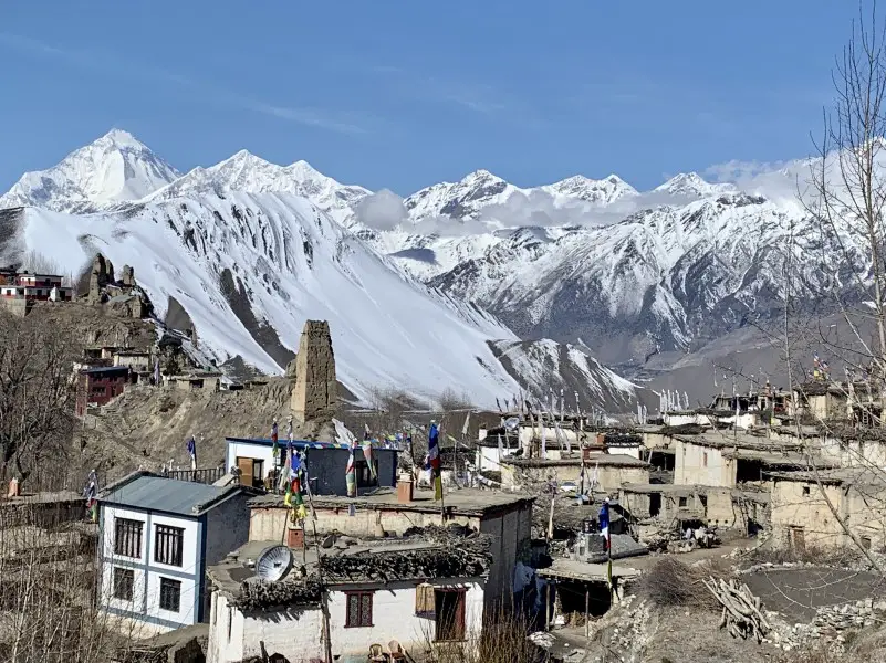
If you still have enough strength after reaching Kagbeni, a short walk to Tiri (less than 1 hour) is unforgettable. This quaint village marks the final frontier with the mysterious region of Upper Mustang, often considered more Tibetan than Tibet itself. Tiri is the last settlement that can be accessed without an expensive Upper Mustang permit.
Place to stay overnight in Kagbeni
Probably due to the proximity to the airport and slightly better standards, prices in Kagbeni are higher than in the previous parts of the Annapurna Circuit trek. At the Shangri La Hotel I paid 500 NPR (~4.5 USD) for a room with the attached bathroom with a hot shower. This lodge has two very nice dining rooms. The first one, located on the first floor, is sunny and perfect for breakfast. The second one, cosy and beautifully decorated, situated on the ground floor, is perfect in the evening. I ate my dinner with a company of 10 young monks from a nearby monastery, all dressed in purple robes, the regular guests here. It was a very bizarre experience for everyone.
DAY 14. Kagbeni > Jomsom 2,720 m (10 km)
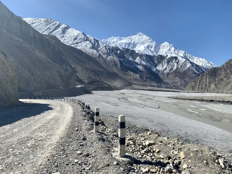
A short and by far the least exciting day of my entire trek. The first 3 kilometers to Ekle Bhatti are quite pleasant, but the rest of the day you need to walk on the road frequented by many jeeps and buses. Some people do not stop in Jomsom and continue to the more picturesque village of Marpha, famous for apple orchards, another 6 km away.
However, I decided to stay in Jomsom. I hoped that after a week of being disconnected from the outside world, I would be finally able to connect to the Internet more easily in larger Jomsom than in Marpha. When I was in Manang, one of the electricity poles collapsed due to heavy snowfall, causing serious issues in the region. As assured by locals, this happens quite often, when it snows heavily. Warn family and friends that you might not always be able to keep in touch during your trek.
Practical tip
Due to the strong winds from around 11 am in the Kali Gandaki Valley blowing between two eight-thousanders – Annapurna and Dhaulagiri, it is better to leave Kagbeni early in the morning to avoid walking on the dusty road. When the wind is strong, it’s not enjoyable at all.
Place to stay overnight in Jomsom
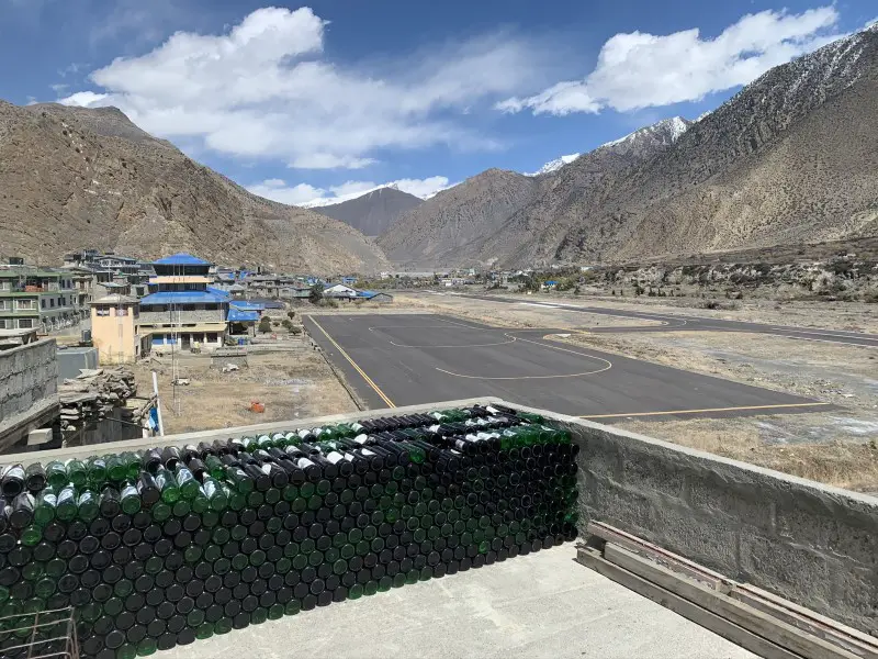
Located by the airport runway in Jomsom, the Hotel Tilicho, is perhaps the cleanest hotel on the Annapurna Circuit trek. I was impressed with the elegant owner of the guesthouse picking up trash from the floor and making sure the chairs are aligned neatly. I think the room is worth the price – 1,000 NPR (9 USD) – if you don’t mind being woken up by the airplanes taking off to Pokhara every morning.
DAY 15. Jomsom > Tukuche 2,590 m (13 km)
My initial plan was to walk the entire legendary route around Annapurna. But as it sometimes happens, my life had its own plan. I did the Annapurna Circuit trek in March 2020 at the beginning of the coronavirus pandemic. The global situation got out of hand only at the end of the month. The number of new cases worldwide has increased dramatically. Nepal’s borders have already been closed, but now the government has also imposed strict restrictions within the country. This included a total ban on any movement. I came across this shocking news while connected to the internet in Jomsom …
While I was walking to Tukuche, I didn’t expect that this Himalayan village would become my home for the next 2 weeks. To tell the truth, I hoped that despite the government’s travel restrictions, trekking would still be possible. After all, I was in Nepal, where the rules are not always respected. But this time it was different. My time in Tukuche was rather dramatic. The coronavirus fear spread among locals and foreigners were no longer welcomed. This is probably a good story for a separate blog post… But let’s get back to the point.
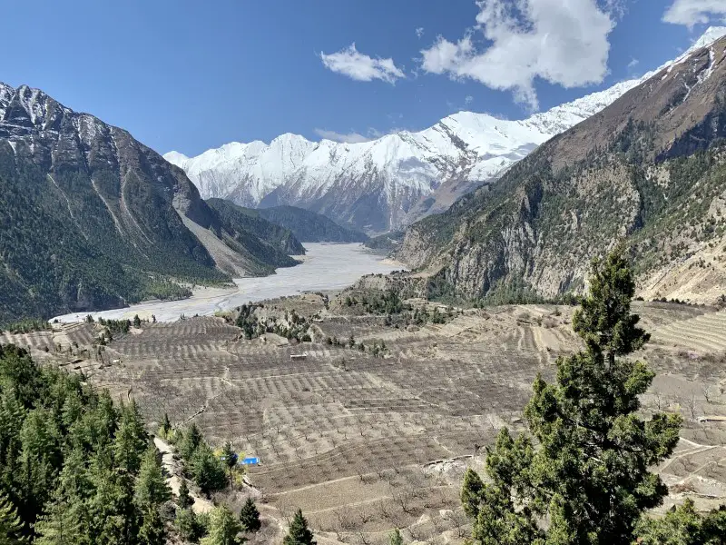
The shortest route from Jomsom to Tukuche takes you on the main dusty road. To enjoy a more interesting path cross the bridge to the other side of Kali Gandaki after the village of Marpha. The trail goes through the settlement of Tibetan refugees – Chhairo. On the way, you can visit the traditional village of Chimang to enjoy stunning views of Dhaulagiri (8,167 m). After crossing the suspension bridge, the last 30 minutes of the route takes you back on the road.
Practical tip
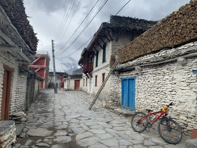
Despite being less popular than Marpha, Tukuche is a very interesting place to stay. The name “Tukuche” translates as “grain market”. Until the end of the 1940s, Tukuche was a place where Tibetan salt was traded for lowland grain. The Chinese invasion of Tibet halted the salt trade, greatly reducing the importance of Tukuche. Fortunately, you can still find impressive two-story houses in Tukuche, once owned by the richest merchants. These beautiful buildings with spacious courtyards and carved wooden balconies are unique to a Himalayan village.
Place to stay overnight in Tukuche
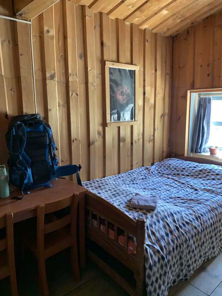
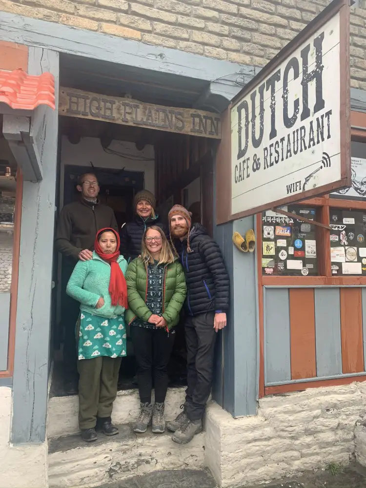
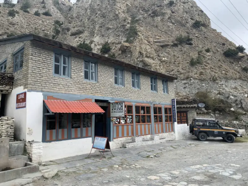
At High Plains Inn & Dutch Bakery, wooden decorations make the rooms cozy. The fireplace in the dining room performs the same function in the common space. Bread is baked almost every day, and home-made apple pie tastes fantastic. And I don’t like apple pies! 🙂 The owner of the lodge Patrick from the Netherlands, who has lived in Nepal for 20 years, is always friendly and willing to share his thoughts and experience. A room with the attached bathroom and hot shower costs 500 NPR (~4.5 USD), but cheaper options are also available.
DAY 16. Tukuche > Ghansa 2,000 m (20-30 km depending on path you choose)
After 2 weeks of being stuck in Tukuche, as soon as the opportunity came, I took a jeep down to Pokhara. Unfortunately, I wasn’t allowed to continue the Annapurna Circuit trek on foot anymore due to the raging pandemic and Nepal government’s restrictions. Staying longer in Tukuche was not a good idea. The locals became a bit hostile.
Unfortunately, because of the unexpected turn of the action I cannot describe the rest of the Annapurna Circuit trek the way I would like. Hopefully one day I will be able to return to this beautiful region to finish the legendary trek.
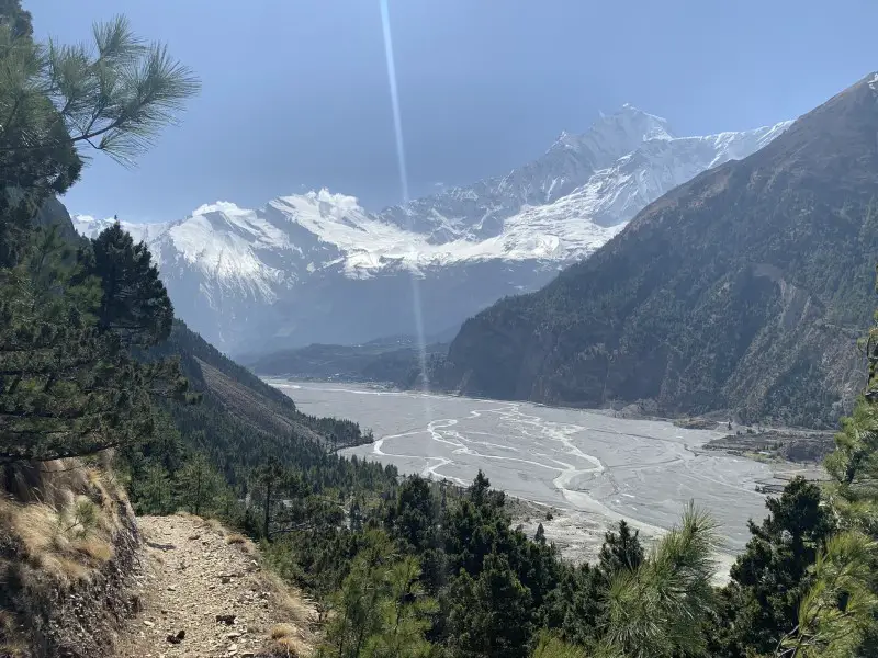
During my first days in Tukuche, when the restrictions were not yet so strict I walked to Larjung, which is the first part of the trek to Ghansa. Like in the previous parts of the trek, the fastest route goes along the dusty road. The traffic on the road can be quite hectic here, making the trekking experience not enjoyable at all. So if you don’t have too much time, I think it’s better to go by jeep or bus to Pokhara instead. However, if you are not in a rush, followe the alternative trail on the other side of the Kali Gandaki river, which is really beautiful. It leads through a pine forest and picturesque villages. The view of the snow-capped peak of the “White Mountain” – Dhaulagiri – is magnificent.
From what I read the route from Larjung to Ghansa is also stunning, which means that concerns whether trekking from Jomsom after the road’s construction is still a good idea, seem invalid. If you avoid the main road and you are going to love it!
DAY 17. Ghasa > Tatopani 1,190 m (15 km)
The name Tatopani translates to “hot water” for a reason. The hot springs are the main attraction of the village. So if you plan on taking a hot dip, don’t forget to pack your swimming suit before embarking on your Annapurna Circuit trek!
DAY 18. Tatopani > Ghorepani 2,860 m (15 km)
To reach Ghorepani you have to climb over 1700 meters. So make sure you are ready for this challenge. Unless you plan on continuing your trek to Annapurna Base Camp or the popular Poon Hill Viewpoint, you may want to consider returning directly from Tatopani to Pokhara instead. There are many transportation options in Tatopani.
DAY 19. Ghorepani > Nayapul 1,070 m (18 km or 21 km with Poon Hill trek)
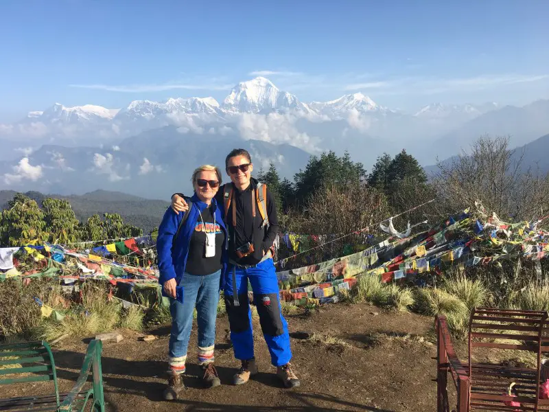
Since you’ve come this far and achieved so much, it’s worth getting up again early in the morning and climbing the Poon Hill Viewpoint located at 3,193m to enjoy the beautiful panorama of the Himalayas in the rays of the rising sun. It’s a great way to say goodbye to your faithful companions around Annapurna – Dhaulagiri, Annapurna, Nilgiri and Tukuche Peak.
TREKKING TO THE ANNAPURNA BASE CAMP (ABC trek)
As long as you have enough strength and time, Annapurna Circuit trek can be easily combined with a visit to the Annapurna Base Camp. All you need to do is to head from Ghorepani to Tadapani (instead of Nayapul) to continue your Himalayan adventure. It takes 5 additional days to complete the below plan.
- DAY 19. Ghorepani > Tadapani 2,630 m (9 km)
- DAY 20. Tadapani > Sinuwa 2,360 m (13 km)
- DAY 21. Sinuwa > Deurali 3,230 m (14 km)
- DAY 22. Deurali > ABC 4,130 m (9 km)
- DAY 23. ABC > Bamboo 2,310 m (15 km)
- DAY 24. Bamboo > Ghandruk 1,940 m (14 km)
To read about my Annapurna Base Camp trek experience and itinerary check out this post: ANNAPURNA BASE CAMP TREK ITINERARY WITHOUT A GUIDE
Hope you enjoyed reading this post and planning the Annapurna Circuit trek will be much easier now. Let me know if you still have questions about the itinerary. And if you’ve already done this trek, please share your experience in the comments box below, I am so curious!
Lastly, remember that while it is good to be well prepared and informed, sometimes you just need to “go with the flow”. Many things can happen along the way and affect your initial plan. Bad weather, altitude sickness, toothache or pandemic – embrace it all. It is the journey that counts, not the final destination. No matter what, each day in the Himalayas will be unforgettable. The Annapurna Circuit trek is truly epic.
MORE ABOUT ANNAPURNA CIRCUIT TREK
For practical details on how to organize Annapurna Circuit trek, such as: the best time to go, number of days required, overall food and accommodation costs and standards check out “ANNAPURNA CIRCUIT – PRACTICAL GUIDE TO PLAN YOUR TREK“.
And if you are still unsure, if Annapurna Circuit trek is for you go to “HOW IS THE ANNAPURNA CIRCUIT EXPERIENCE?” where you will find out how difficult the trek really is, if you should hire a guide and learn all the Annapurna Circuit pros & cons.
I am going in early April and this has been by far the best information ever. THANK YOU !!!
Hi Giles, I am so happy you’ve found it useful. <3 Enjoy your trek, I'm sure it will be epic!
hello Beti,
We are walking the AC now and are very happy with your blog and are using many of your recomandations for accomodations so far. Business for guesthouses is slowly starting up after almost 2 years of not receiving tourists, because of covid-19. We are now in Tal, which had received also a flooding last monsoon, they are still rebuilding things here, really sad tot see. We are currently raising money for some of the village. There is too much from Lower Pisang so we have to take it slowly. Thanks a lot and safe travels, greetings, Stefan and Jeannette
Namaste Stefan and Jeannette!
Thank you for your message. It’s so good to hear that business is slowly picking up and that you are trying to make a difference. I often think about Nepal, so I really appreciate your message. The damage (pandemic + floods) must have been enormous. There must be so many people in need… Fortunately, Nepalese are strong and have positive mindset in difficult times. We could learn so much from them.
I am also very glad you have found my article useful and happy for you that you are now in the most beautiful mountains (almost a bit jealous:)). Enjoy your journey!
Hi Beti!!
Amazing information!!1 Thank you!! Im planing to go in March 2023. One little question, is a sleeping bag necessary? Or the provision of blankets is enough to keep u warm at night on higher altitudes?
Ciao Emiliano! Are you Italian? If yes, you can always text me in Italian. It’s the language I speak on a daily basis and just don’t have capacity to blog also in Italian – maybe one day 🙂 I think the sleeping bag is necessary. Actually, I think a good sleeping bag is necessary. At night at High Camp the water in the bottle froze inside my room – that’s how cold it can get. The blankets available in the rooms will not provide you with good protection against the frosty Himalayan night at high altitude. You will also never know when they were cleaned last time… Hope it helps. Enjoy your journey – it will be EPIC!
Ciao Beti, thanks for getting back to me :). As a matter of fact im from Argentina (living in Ireland).. however I do speak Italian as well. Got it, i was thinking that all the people who say the sleeping bag is not necessary probably did the after the monsoon season. Tbh, i rather go in march and avoid the crowds. I must congratulate you for these guides and articles, are amazing. Looking forward for what to pack to trek in Nepal 🙂 One more question, did u have any problem to find the NATT trails to avoid de road? Did u use something like maps.me? Thanks in advance.
Hi Emi,
Sorry for replying only now I was busy exploring this beautiful world! Awe, Argentina <3 - it is one of my travelling dreams but... I will also never say no to a pint of fresh Guinness 🙂 Thank you for your nice words. Positive feedback or any feedback to tell the truth 🙂 gives me motivation to continue writing as moments of doubt come often. As for the sleeping bags, no matter which time of the year you go, in high mountains it is always freezing at night. All people who I talked to or read their stories who went without (or with a crappy one) regretted it and did not enjoy the trek as much. What a pity! That's one of the reasons I started this blog - to campaign for good sleeping bags :-). March is a great season as it's slightly less busy but the weather is usually great. Just be prepare for some snow, but it is nothing to worry about if you... are prepared. 🙂 Regarding new trails - they are usually well marked as I think Nepal really tries to ensure trekkers that AC is still worth it. Having said that, Maps. Me is a must. It costs nothing to have it on your phone and the Nepal maps are very detailed. Especially if it snows, they come very useful. Just remember to download them before the trek!
Thanks Beti, I will go for a pajak sleeping bag that are very good and warm. Looking forward for the entry about what to pack for a trek in Nepal!!
Best information I ever read.
Thanks you for sharing.
Thank you so much! I’m so glad you liked it. Hopefully it will help you to plan your own Annapurna Circuit adventure.
Namaste Beti, I enjoyed reading about your trek. I was a bit shocked to read that there is traffic up to Jomson now. Back in 1995 I lived in Marpha for about 4 months, at that time the nearest road was still a six-day trek away. Truly a magical time.
Hi Andreas, it must have been an amazing experience. I loved the Annapurna Circuit even now, with its extensive infrastructure, so I can’t even imagine how magical it was in the past. Yes, the world is changing. Our lives have become easier with the advent of smartphones and internet search engines, so I think it’s fair that the people of the Mustang region have a jeep road. Although selfishly speaking, it also hurts a bit… Thank you for your comment and for sharing your experience.
Hi Beti,
Thank you soo much for this blog.
While reading, It felt like i was on a trip with you. It’s really helpful!
I’m going to Kathmandu, Nepal on 10/09 and will start my trek from Chame on 14/09.
This is my first solo trekking experience.
Do you have any suggestion/advise/tip for me?
Should i start from Chamje instead of Chame?
PS : Beti mean ‘Daughter’ in India.
Hi Sunny, thank you so much! I’m happy you liked my blog. I think, if you read all my articles related to Annapurna Circuit (you can click here to see them: https://betifulworld.com/tag/annapurna-circuit/) you should learn everything about this trek 🙂
It might be still a bit rainy in September because of the end of the monsoon season, so you might want to use gaiters in case you encounter leeches in the lower part of the trek. Regarding your starting point: Chamje vs. Chame. Hmmm, it really depends on how much time you have for this trek. If you start in Chamje, you will have a chance to visit lovely Tal and overall you will experience more. If you ask me, I always prefer walking through this incredible scenery than riding in a jeep. However, the distance between Chame and Chamje is almost 30 km, so you should consider it when planning. I also hope you have time time to walk down to Ghansa/Tatopani?
PS. Enjoy this amazing journey <3 It's going to be awesome!
PS2. I didn't know my name means daughter.. Thank you! <3
Hi Beti,
Thank you for sharing your journey. Which month did you go to AC? I am planning to go end of this month. Similar to yours, I am planning to go for a chilled solo trekking too.
My biggest concern is AC being very quiet and deserted where trails might be hard to identify and possibility of covered with snow.
Thanks!
Hi Serene, end of January will be definitely more quiet and there might be lots of snow, so the risk of not being able to complete the trek is higher. But even in March when I trekked, Thorong La Pass was closed for a couple of days as there was so much snow. So, there is always some risk. You just need to answer yourself how much risk you can take. Regarding the trails covered with snow, Maps.Me app with the offline navigation is very handy in such situations. I used it in Nepal when I couldn’t see the trails because of the fresh snow on a a few occasions – eg. on the trek to the Ama Dablam Base Camp or to the Ice Lake (1-day acclimatization hike for AC).
In short, if you can postpone your trip to spring or autumn, do it. But if you can’t, download the Maps. Me app, always check the weather with the locals before hitting the trail in the upper parts of the mountains to eliminate the avalanche risk and to be safe and… have an awesome adventure!
what great trekking information about the Annapurna Jomsom trek.
Thank you for reading 🙂 What a great trek!
hello, did You use a crampons?
Thank You for great blog
Hi Anastazja, and thank YOU! I’ve used it for a bit, but there was just too much fresh snow and they were not needed/worked well. It’s always good to have them. Happy trekking! 🙂
Hi Beti, Your website is a treasure trove of information related to travelling in Nepal. Hope many more use your website and benefit from it. Thanks for all the effort put into it
Hi, I’m planning to follow your itinerary for the Ice Lake trip. Initially, I was thinking of staying two nights in Manang, but it seems that Braga might be a better option. Could you also provide some details on the timings, such as when you started the hike, when you reached the Ice Lake, and what time you got back to the hotel? Thanks!
Hi GR,
I think I mentioned this in my blog, but I find Braga much nicer than busy Manang. The rock formations there are stunning, and you can really feel the magic of the mountains. Also, if you plan to do the Ice Lake trek, it’s more convenient to stay in Braga, as that’s where the trail begins. I don’t remember exactly how long the hike took me, but it was a full day’s trek (with lots of breaks), probably around 7-8 hours. However, I’m a rather slow hiker, and there was a lot of snow, which made it take longer than it might without so much snow.
Initially, I planned to head to Manang after the hike, but in the end, I stayed in Braga for a second night because I was tired, and the New Yak Hotel was just too comfy to leave. I hope this helps. Good luck! And thanks again for going through my blog <3